Our pick
The West Macs
Gorges and waterholes
- Length9 hours
- SwimEllery Creek Big Hole
- RoadSealed
Guides
Language
Currency
Find open datesfrom $175 · cancel for freeHelp me decide
Brief answer
Choose the West MacDonnell Ranges for swimming holes on sealed roads, the East for rock art and quiet, and Kings Canyon only on the way to Uluru.
Choice essentials
Two taps, one direction
Say what you want from the day and how much time you have, and a matching trip appears with its starting price.
Recommended for you
from $175
9 hours with Simpsons Gap, Standley Chasm, Ormiston Gorge and a swim at Ellery Creek Big Hole.
Recommended for you
from $109
5 hours in a group of up to 11, close to town at Simpsons Gap and Standley Chasm.
Recommended for you
from $119
5 hours to Emily and Jessie Gaps, Corroboree Rock and Trephina Gorge.
Recommended for you
from $202
10.5 hours covering both sides of Alice Springs.
Recommended for you
from $242
A 12-hour day to Kings Canyon and the Garden of Eden, starting at Ayers Rock Resort.
Recommended for you
from $627
3 days from Yulara over the Mereenie Loop, with a night in the West Macs.
East or West MacDonnell Ranges? From Alice Springs you can go either way, or drive half a day to Kings Canyon. Here is how those days out really differ.
Editorial team, westmacdonnellrangestour.top · Updated November 8, 2026 · 7 mins to read
Essentials
Alice Springs sits in a gap of the MacDonnell Ranges, so the ranges run off in both directions from town. Tjoritja, the West MacDonnell National Park, reaches 161 km to the west, and the East MacDonnell Ranges reach 150 km to the east.1,3 Kings Canyon is a different place altogether: it lies in Watarrka National Park, some 450 km to the south west of Alice Springs and about 300 km from Uluru.5
That geography settles most of the choice before you weigh anything else. Both ranges are day trips from town, with the first sights only 15 minutes out in either direction.8,9 Kings Canyon, from Alice, is a long drive that makes sense as part of a loop, not as a quick excursion. Tourism NT itself frames the West Macs as the place to continue west from, towards Watarrka and Kings Canyon.10
So is Kings Canyon in the West MacDonnell Ranges? No. It sits in its own national park, home to the Luritja people for more than 20,000 years, and is reached from the western end of the ranges by the unsealed Mereenie Loop.11,12 The rest of this page compares them on the questions that decide a day: roads, water, walks, culture, crowds and cost.
Side by side
| Question | West Macs | East Macs | Kings Canyon |
|---|---|---|---|
| Length of range | 161 km1 | 150 km3 | A canyon in Watarrka5 |
| Sealed road | Larapinta, Namatjira13 | First 75 km4 | Sealed route via Alice24 |
| Swimming | Permanent waterholes2 | After rain only27 | Prohibited6 |
| Signature walk | Ormiston Pound, 3 to 4 hrs19 | Trephina, about an hour each28 | Rim Walk, 6 km17 |
| Tour from | $175 | $119 | $242 |
Tour prices are each listing's starting fare; the Kings Canyon day starts at Ayers Rock Resort.
The West is the easy drive. Both Larapinta Drive and Namatjira Drive carry a sealed surface, which puts the ranges within reach of an ordinary car, though a few stops need AWD or 4WD.13 The main sights sit 15 minutes to about 2 hours from town, and Ormiston Gorge sits 135 km out, sealed all the way.18,19 You can do the classic run in a hire car without touching gravel worth worrying about.
The East is easy only to a point. You leave town south through Heavitree Gap onto the sealed Ross Highway, and the road stays sealed for the first 75 km, as far as Trephina Gorge.20,4 Beyond that the best places, such as N'Dhala Gorge and Ruby Gap, need a four-wheel drive.21 Arltunga Historical Reserve lies 110 km out along the Ross Highway.22
Kings Canyon asks the most of the driver. On Tourism NT's 6-day route, Alice Springs to Kings Canyon Resort is 323 km by the Mereenie Loop, which needs a 4WD and a permit; without one you go back through Alice Springs and take the sealed route instead.23,24 The permit costs AUD 5.00 and lasts 3 days.16 Choosing between the West MacDonnell Ranges or Kings Canyon for a single day is therefore lopsided: one is a day trip, the other a road trip.
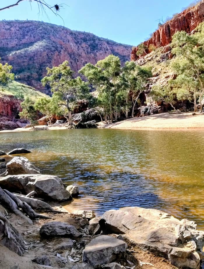
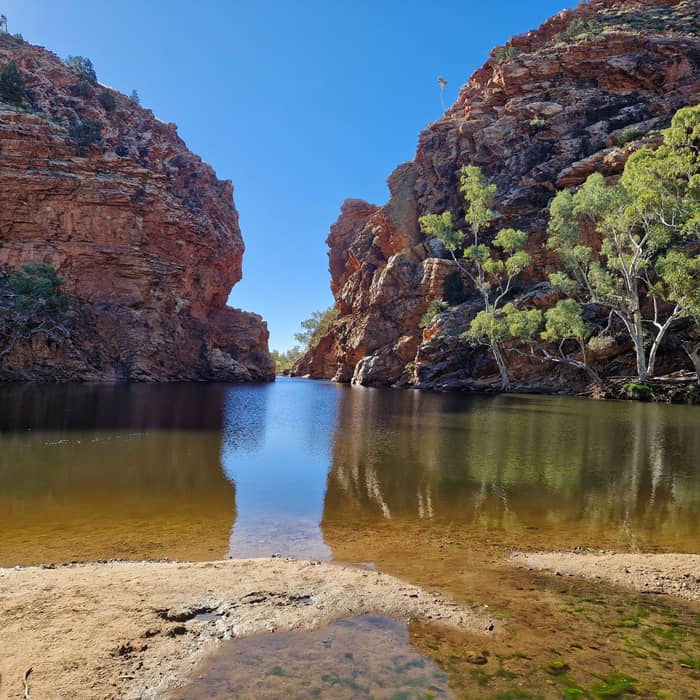
If a swim is the point, the West wins outright. Its biggest permanent pools are at Ellery Creek Big Hole, Glen Helen Gorge, Ormiston Gorge and Redbank Gorge.2 Both Ellery Creek and Ormiston hold swimmable water through the whole year, and it stays surprisingly cold.30 On the day trip we list, the final hour is spent at Ellery Creek Big Hole, swimming optional when it is warm.
The East has water too, but on its own terms. At Trephina Gorge, the John Hayes Rockhole is a swimming spot best visited after recent rain, and a swim there is not guaranteed.27,28 Driving in to it takes a four-wheel drive, though the Trephina Ridgetop Walk reaches it on foot, so for most visitors the East is a place to walk and look rather than to cool off.
Kings Canyon has no natural waterhole you may swim in. Its two natural pools, the Garden of Eden and Kathleen Springs, are closed to swimmers.6 The resort pools are the only option there, which matters in summer, when a walk in the heat without a swim afterwards is a much harder day. If cool water is what you picture at the end of a hot walk, plan the canyon for the morning and save your swim for a gorge in the West on another day.
Your day out
Our pick
Gorges and waterholes
Fewer visitors
Rock art and quiet
From Ayers Rock
Rim and cliffs
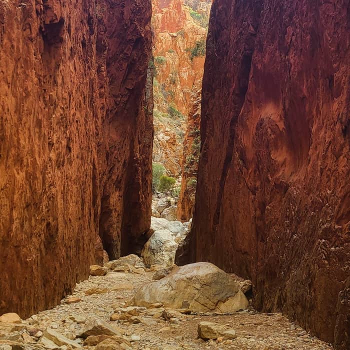
Each is walking country, but the scale differs. In the West, the Ormiston Pound Walk is a 3 to 4 hour circuit from the kiosk, and the walk into Standley Chasm is an easy 20-minute return along its creek.19,38 Between those, most stops have a short track, so you can tune the day to your legs. Even on the guided day we list, the walks are described as suitable for all ages and fitness levels, which makes the West the safest bet for a mixed group with grandparents or young children.
The East's signature walks are shorter. At Trephina Gorge, the Gorge Walk and the Panorama Walk each take about an hour return.28 They give the sense of a quieter, less trodden range, with rock art and ridges rather than big pools.35 The park is known for its walking trails, its bluffs and its two shady campgrounds, so it suits a slow afternoon and a night under the stars more than a rushed visit. Go early to see the quartzite glow before the heat sets in.
Kings Canyon's Rim Walk is the most demanding of the famous options: 6 km around, taking 3 to 4 hours and starting with 500 steps up.17 It rewards that effort with a walk along the top of the cliffs, and Tourism NT notes a flat Kings Creek Walk for anyone who wants the canyon without the climb.39 Walk it early in the warm months, because there is no water to dive into at the end.
A loop that links them
Start
Drive the sealed Larapinta and Namatjira drives to the western gorges.13
That evening
Next morning
An unsealed road, 4WD only, with an AUD 5.00 permit valid 3 days.12,16
Next evening
Arrive via the loop; the canyon sits in Watarrka National Park.5
Final morning
Allow 3 to 4 hours for the 6 km circuit; start early.17
Every one of these places is Aboriginal country, and each tells its story differently. In the West, landscape features matter to the Arrernte people, with the Ochre Pits a long-used quarry, and the ranges were made famous by the paintings of Western Arrernte artist Albert Namatjira.40,41 Standley Chasm belongs to a private reserve in the care of local Arrernte people.42
The East is richer in rock art you can see. Emily Gap, 14 km from Alice Springs, holds rock paintings of the Arrernte caterpillar dreaming story.25 N'Dhala Gorge protects some 6,000 ancient petroglyphs, and Arltunga is a gold-rush ghost town that held some 300 people after gold was found in 1887.21,29 History and art are the East's strongest pull.
At Kings Canyon, the Watarrka area has been home to the Luritja people for more than 20,000 years.11 The canyon's English name comes from Kings Creek, named by the explorer Ernest Giles in 1872.43 Whichever way you go, follow signs that ask you to stay on tracks or not to swim; they protect places that carry meaning beyond the view.
Video
Adventure Lifestyle on YouTube · The clip loads only after you tap play.
Although the East MacDonnell Ranges (‘East Macs’ to the locals) are less well-known than the West Macs, their splendour is equally as intriguing
Before you choose
The West has the most tours and the strongest reviews. Our featured day trip starts from $175, runs 9 hours and averages 4.7 from 318 reviews. Its stops are Simpsons Gap, Standley Chasm, the Ochre Pits, Ormiston Gorge and Ellery Creek Big Hole. Half-day options exist too, from $109 for a 5-hour small-group trip.
The East has fewer listings. A 5-hour East MacDonnell Ranges tour starts from $119, with 9 reviews averaging 4.3, and names Emily and Jessie Gaps, Corroboree Rock and Trephina Gorge. A 10.5-hour day that combines both sides starts from $202, with 7 reviews averaging 4.0. With so few reviews behind them, read the East listings carefully and check which stops they really reach, because the best of the East lies beyond the sealed road.4
For Kings Canyon, the busiest listing starts at Ayers Rock Resort, not in Alice: a 12-hour day from $242 with 629 reviews. From Alice Springs the canyon usually comes as part of a multi-day trip, such as a 3-day 4WD camping trip from $627 that crosses the Mereenie Loop and ends in the West Macs.
You do not have to choose forever. The Red Centre Way strings Alice Springs, Uluru, Kings Canyon and the West MacDonnell Ranges into a 1,135 km drive that Tourism NT says needs at least 6 days.44 Kings Canyon to the West Macs on that route is 234 km over the Mereenie Loop, recommended only for 4WD vehicles.12
If you only have Alice Springs as a base, the cleanest plan is the West on one day and the East on another. Each needs an NT Parks Visitor Pass, and one pass serves all NT Government parks for as long as it is valid, so a 3-day adult pass at AUD 20 covers both.31,34,45,46 That is the best value in the comparison. Start the West early for the swim, and give the East a cooler morning for its walks and rock art, returning to town for lunch.
Our honest ranking for a first visit: the West for its swimming holes and its easy sealed road, the East for rock art and fewer people, and Kings Canyon only if you are heading towards Uluru anyway. The short quiz above turns those trade-offs into a single suggestion with a real listing behind it, so you can book the direction that suits you.
FAQ
Its home is Watarrka National Park, around 450 km from Alice Springs to the south west.5
John Hayes Rockhole at Trephina Gorge is best after recent rain, and a swim is not guaranteed.27
Neither the Garden of Eden nor Kathleen Springs is open to swimmers.6
The road is sealed for the first 75 km, to Trephina Gorge; places beyond need a four-wheel drive.4
A 10.5-hour small-group day covers both sides of town, from $202.
Sources
Planning a day in the West Macs? A real person answers here.