Site tour
The site's day trip
Lunch stop
- At Ormiston1 hour with lunch
- Whole day9 hours
- Pricefrom $175
Guides
Language
Currency
Find open datesfrom $175 · cancel for freePick out your stop
Brief answer
Ormiston Gorge is 135 km west of Alice Springs on sealed roads, with a near-permanent waterhole up to 14 m deep and the 3 to 4 hour Pound Walk.
Ormiston essentials
Check out 51 stops
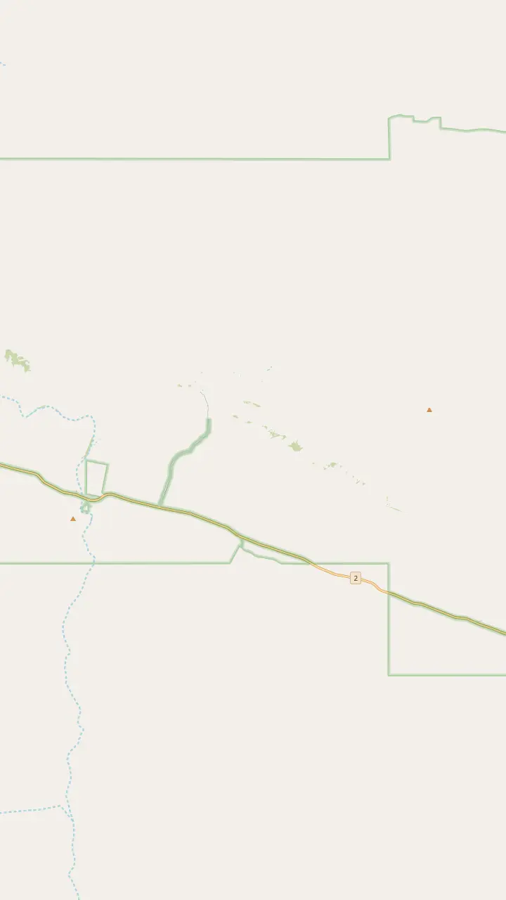
Choose a route and tap a pin or stop to see its note and open it in Google Maps.
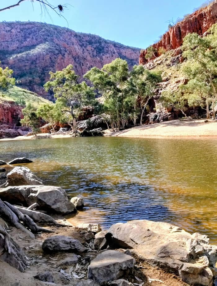
The Ormiston waterhole is just 500 m from the visitor centre and up to 14 m deep at its southern end.
Google MapsGhost Gum Lookout is a Grade 3 walk of around 45 minutes from the car park, with a platform and stairs at the top.
Google MapsMt Giles, 1,389 m, rises east of the pound as the high point of the Chewings Range.
Google MapsThe Finke River trailhead sits near where Ormiston and Davenport creeks join to begin the Finke River; walkers only.
Google MapsFrom Glen Helen a 4.5 km walking track leads to the Finke River trailhead.
Google MapsMount Sonder, 1,380 m above sea level, is the peak you see from this lookout on Namatjira Drive.
Google Maps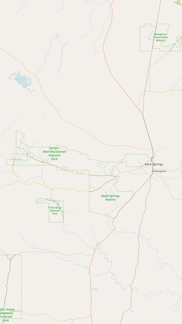
Alice Springs is where day trips start: the major stops range from 15 minutes to approximately 2 hours' drive away.
Google MapsJohn Flynn's Grave, 7 km west of town, holds the ashes of the founder of the Royal Flying Doctor Service.
Google MapsSimpsons Gap is 18 km from Alice Springs, with red cliffs and a permanent waterhole where swimming is not permitted.
Google MapsStandley Chasm is Aboriginal-owned land off Larapinta Drive, about 50 km west of Alice Springs, with its own entry fee.
Google MapsEllery Creek Big Hole is a flood-carved waterhole for swimming, believed to be up to 27 m deep.
Google MapsSerpentine Gorge is 100 km west of Alice Springs; swimming is prohibited there for cultural and environmental reasons.
Google MapsThe Ochre Pits are 110 km west of Alice Springs, a colourful outcrop of ochre on a sandy creek bank.
Google MapsOrmiston Gorge is 135 km west of Alice Springs on sealed roads, with a near-permanent waterhole for swimming.
Google MapsGlen Helen Gorge is 132 km from Alice Springs, where the ranges part for the Finke River.
Google MapsRedbank Gorge is 156 km west of Alice Springs; its last 5 km of road is unsealed and high clearance is recommended.
Google Maps
From town the Simpsons Gap Bicycle Path starts at John Flynn's Grave, 7 km west of Alice Springs.
Google MapsJohn Flynn's Grave Historical Reserve is 7 km west of Alice Springs.
Google MapsAt dawn and dusk Black-footed Rock-wallabies may be seen from the track into Simpsons Gap.
Google MapsThe Cassia Hill Walk is a 1.5 km loop of about one hour with views over the ranges.
Google MapsJay Creek ends Larapinta section 2, 24 km from Simpsons Gap, and section 3 runs 13 km on to Standley Chasm.
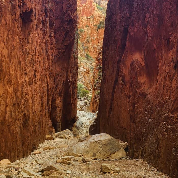
Google MapsStandley Chasm is 80 m tall and only 3 m wide at its narrowest.
Google Maps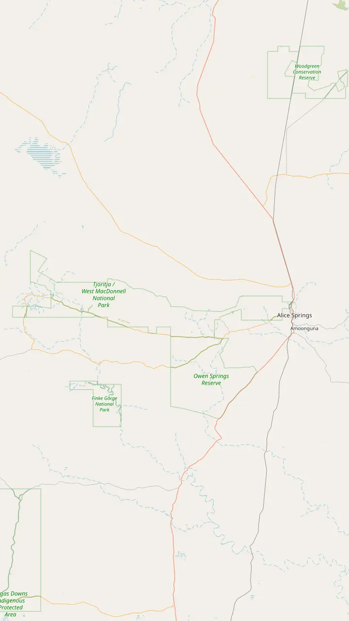
The Telegraph Station, where the trail starts, was established in 1871 to relay messages between Darwin and Adelaide.
Google MapsSection 1 from Alice Springs to Simpsons Gap is 23 km.
Google MapsSection 2 from Simpsons Gap to Jay Creek is 24 km.
Google MapsBoth entry points for sections 3 and 4 sit inside the Standley Chasm gates.
Google MapsBirthday Waterhole is a semi-permanent pool; its campsites are 4WD only, with no facilities.
Google MapsSection 5 ends at Hugh Gorge after Razorback Ridge, one of the hardest stretches of the trail.
Google MapsEllery Creek Big Hole gives access to sections 6 and 7 of the trail.
Google MapsSerpentine Gorge is the trailhead for sections 7 and 8.
Google MapsSerpentine Chalet is reached by four-wheel drive only.
Google MapsOrmiston Gorge is the trailhead for sections 9 and 10.
Google MapsSection 10 is Grade 3 and section 11 is Grade 4.
Google MapsRedbank Gorge is the base for the Mount Sonder climb, with camping only at its two designated campsites.
Google MapsMount Sonder is section 12 of the trail, 1,380 m above sea level.
Google Maps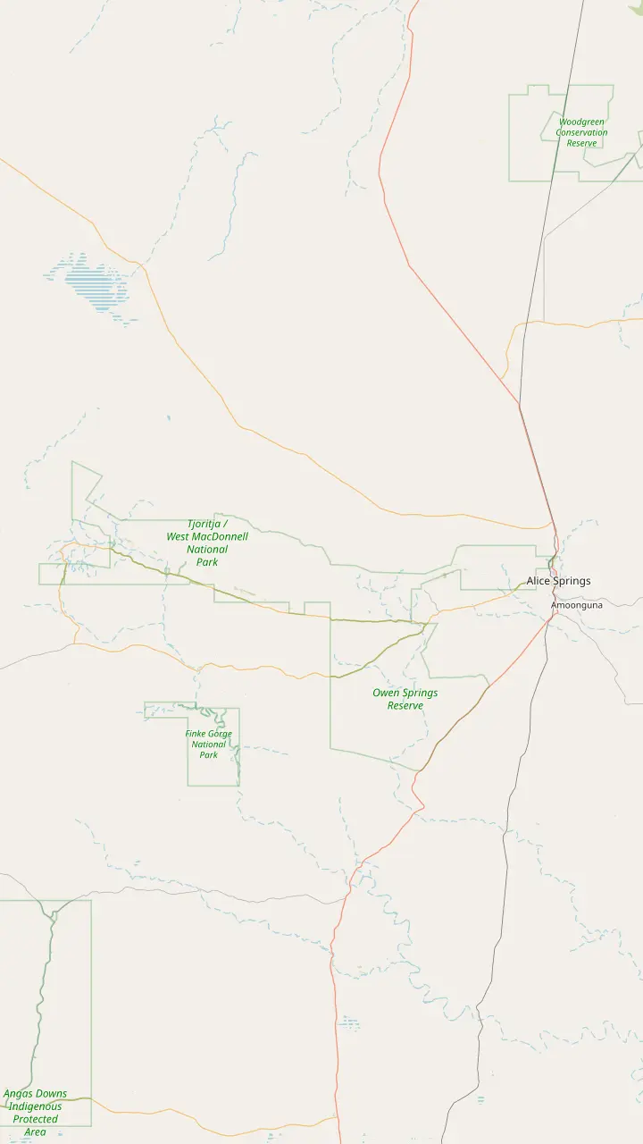
Simpsons Gap is Rungutjirpa to the Arrernte people, the home of giant goanna ancestors.
Google MapsAngkerle Atwatye means the Gap of Water.
Google MapsThe Aboriginal name for Ellery Big Hole is Udepata.
Google MapsSerpentine Gorge is the site of the Carpet Snake Dreaming.
Google MapsOchre from the pits is the primary material for traditional rock art in the region.
Google MapsOrmiston Gorge is a sacred site for the Western Arrernte people.
Google MapsGlen Helen Gorge is known to its traditional Arrernte owners as Yapalpe.
Google MapsMount Sonder is Rutjupma to the Western Arrernte, for whom it is sacred.
Google Maps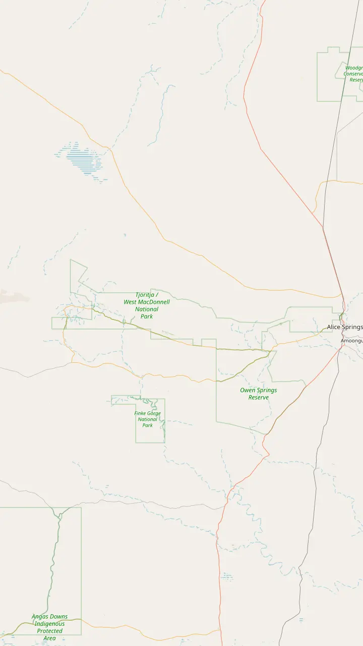
Ellery Creek has ten designated sites, booked online, at AUD 4 per adult.
Google MapsSerpentine Chalet bush camp is reached by four-wheel drive only.
Google MapsOrmiston Gorge campsites are first come, first served and paid at the kiosk.
Google MapsThe Finke 2 Mile campground sits on the Finke River near the Mt Sonder Lookout, around 130 km west of Alice Springs.
Google MapsWoodland is one of the two Redbank Gorge campgrounds; bring your own water, gas and firewood.
Google MapsRidgetop is the other Redbank Gorge campground, a base for the Mount Sonder climb.
Google MapsCamping at Standley Chasm includes entry to the chasm during your stay.
Google MapsThe rooms and campground at Discovery Parks - Glen Helen are currently closed, so check before planning a night there.
Google MapsMap © OpenStreetMap contributors
Ormiston is the gorge most visitors remember: a sandy beach, a cold and deep pool, red walls and a ring of mountains behind. Here is how to walk it, swim it and fit it into a day or a night.
Editorial team, westmacdonnellrangestour.top · Updated November 8, 2026 · 7 mins to read
Essentials
Ormiston Gorge lies 135 km out along sealed roads, and Larapinta Trail sections 9 and 10 both start here.1 The drive is simple once you know the junction. From Alice Springs it is 47 km along Larapinta Drive, 81 km on Namatjira Drive after the right turn, and a last 7 km spur to the car park and campsite.6 Allow close to 2 hours each way, the top of the range of drive times Tourism NT gives for the major stops.7
Tourism Central Australia's regional hiking page lists the gorge under its Arrernte name, Kwartatuma.8 It is a sacred site for the Western Arrernte people, which is worth holding in mind as you walk its creek bed.9 The wider park shelters rare and threatened species, with the Peregrine falcon among its uncommon birds.10 Ormiston Gorge is reached on sealed roads all year round.11
The gorge belongs to Ormiston Pound, a circle of low mountains about halfway along the ranges.12 That is why one visit can mean very different things. You can stroll a short way to a beach and a pool, climb to a lookout for the light, or spend half a day circling the pound on foot. The sections below take each of those in turn, from the easiest to the longest.
Walks compared
| Walk | Length | Time | Grade |
|---|---|---|---|
| Waterhole Walk | 300 m3 | About 5 minutes3 | Grade 1, paved |
| Ghost Gum Lookout | Short climb | Around 45 minutes27 | Grade 3 |
| Ghost Gum Walk | 2.5 km loop28 | About 1.5 hours28 | Rock-hopping |
| Ormiston Pound Walk | 9 km loop29 | 3 to 4 hours29 | Grade 3 |
Times and grades as Tourism Central Australia publishes them; allow more in heat or after rain.
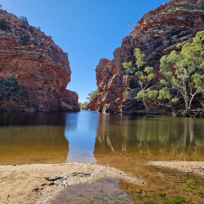
The Ormiston Gorge waterhole in the West MacDonnell Ranges almost never dries, and warm weather is when it is most inviting for a swim.19 Tourism NT estimates its southern end at up to 14 m deep, 500 m on foot from the visitor centre.2 Tourism Central Australia rates it among the biggest permanent waterholes for swimming in Central Australia.20 The best time to swim, it says, is after rain, when the gorge is freshly topped up.21
Expect a shock when you wade in. Even in summer the water can be freezing cold, and prolonged exposure should be avoided.22 Jumping and diving are not recommended, since submerged boulders, rocks and logs can be a danger and conditions under the surface keep changing.23 Waterholes in Central Australia have no lifeguards.24 Walk in from the sand, keep children in sight and get out before you start to shiver.
There are no crocodiles in Central Australia, so the only risks are cold, depth and what lies under the surface.25 Bring towels and a picnic and use the sandy bank as your base, the way the regional tourism body suggests. If you only have an hour on a tour, a swim here is a fine use of it, but on a cool winter day a paddle and the view from the beach are often enough.
The Waterhole Walk is the easy way in, a five-minute Grade 1 route of 300 m on a paved path that is wheelchair accessible.3 It runs from the visitor centre area to the water and the beach, and it is the walk to repeat in the evening. Walking it near dusk gives the best chance to see black-flanked rock-wallabies and dingos, according to the regional walk notes.31
Ghost Gum Lookout is the short climb with the big view. Graded 3 and taking around 45 minutes, it climbs from the car park to the lookout, then drops into the gorge for a rock-hop back down the creek.27 Steps and a platform make the top easy to stand on.30 Tourism Central Australia names it the place to be at Ormiston for sunrise or sunset.32
Carry on along the western side and you are on the Ghost Gum Walk, a 2.5 km loop of about 1.5 hours that ends in the gorge itself.28 Inside the gorge there are occasional sandy sections, but mostly easy rock-hopping and boulders to scramble around.33 Wear shoes with grip, keep a hand free for the rocks and plan to get your feet wet in a wet season.
Pick your walk
Choose by time and legs, not by the photos.
If I have an hour on a tour
Waterhole Walk and a swim
It is 300 m on a paved path to the water.3
If I want the view for sunrise
Ghost Gum Lookout
If I want a proper hike
The Pound Walk
A 9 km Grade 3 loop of 3 to 4 hours.29
If I use a wheelchair
The Waterhole Walk
The paved path is wheelchair accessible.3
If I want to see wallabies
Waterhole Walk at dusk
Dusk gives the best chance of rock-wallabies and dingos.31
Ormiston by tour
Site tour
Lunch stop
Listing
Swim included
Listing
Glen Helen too
Leaving from the visitor centre, the Ormiston Pound Walk loops for 3 to 4 hours over rocky slopes and the level pound floor before returning down the gorge past the main pool.4 Tourism Central Australia grades it as a 9 km Grade 3 loop.29 The start has picnic tables, barbeques, toilets, drinking water and a kiosk.13 Follow the orange arrows anticlockwise, together with the blue-arrowed Larapinta Trail at first.14
The climb out of the creek passes corkwoods, bloodwoods and red-flowered grevillea among the spinifex.86 Some 45 minutes of walking brings you onto a saddle at a track junction, with a short side path to a lookout over the pound.15 That pound covers 46.5 square kilometres.16 To the east rises Mt Giles, 1,389 m, the high point of the Chewings Range.17 To the north-west you can pick out 1380 m Mt Sonder and, much further off, 1531 m Mt Zeil, the Northern Territory's highest peak.26
The finish is the reason to walk the loop this way round. Inside the gorge the red-rock walls tower up to 250 m high.18 Along the pools look for herons, dusky grass-wrens and both zebra and painted finches.87 Carry plenty of water and start early in warm months. In summer, tracks can be shut on days forecast above 36 degrees celsius.88
The Pound Walk
Start
Toilets, drinking water and a kiosk at the start.13
Creek crossing
Shared with the blue-arrowed Larapinta Trail at first.14
Saddle
About 45 minutes from the start.15
Lookout
A ring around 46.5 square kilometres of pound floor.16
Pound floor
Mt Giles, 1,389 m, rises to the east.17
The gorge
Red walls up to 250 m high above the pools.18
Ormiston is more than scenery. Several plants here are relicts, survivors from a time when Central Australia was tropical.89 Tourism Central Australia describes relics of a bygone tropical forest surviving in many of the cool gorges across the ranges.90 In practice that means shade-loving plants clinging to damp, sheltered rock while spinifex covers the slopes above them.
The gorge also made a quiet bit of scientific news. The Long-tailed Dunnart and the Central Rock Rat were rediscovered here in 1997.91 You are very unlikely to see either, as both are small and shy, but their survival is part of why the pound matters as a refuge. The larger animals are easier, especially rock-wallabies and dingos near dusk on the Waterhole Walk.31
Across the West MacDonnell Ranges, Ormiston Gorge is one of the easiest places to practise patience with binoculars. Sit by the water in the early morning and watch the finches come down to drink, or scan the cliffs for herons roosting on the ledges. Bring binoculars if you have them, keep food packed away and leave the wildlife alone. Native animals in these parks are protected and are never to be fed.
Video
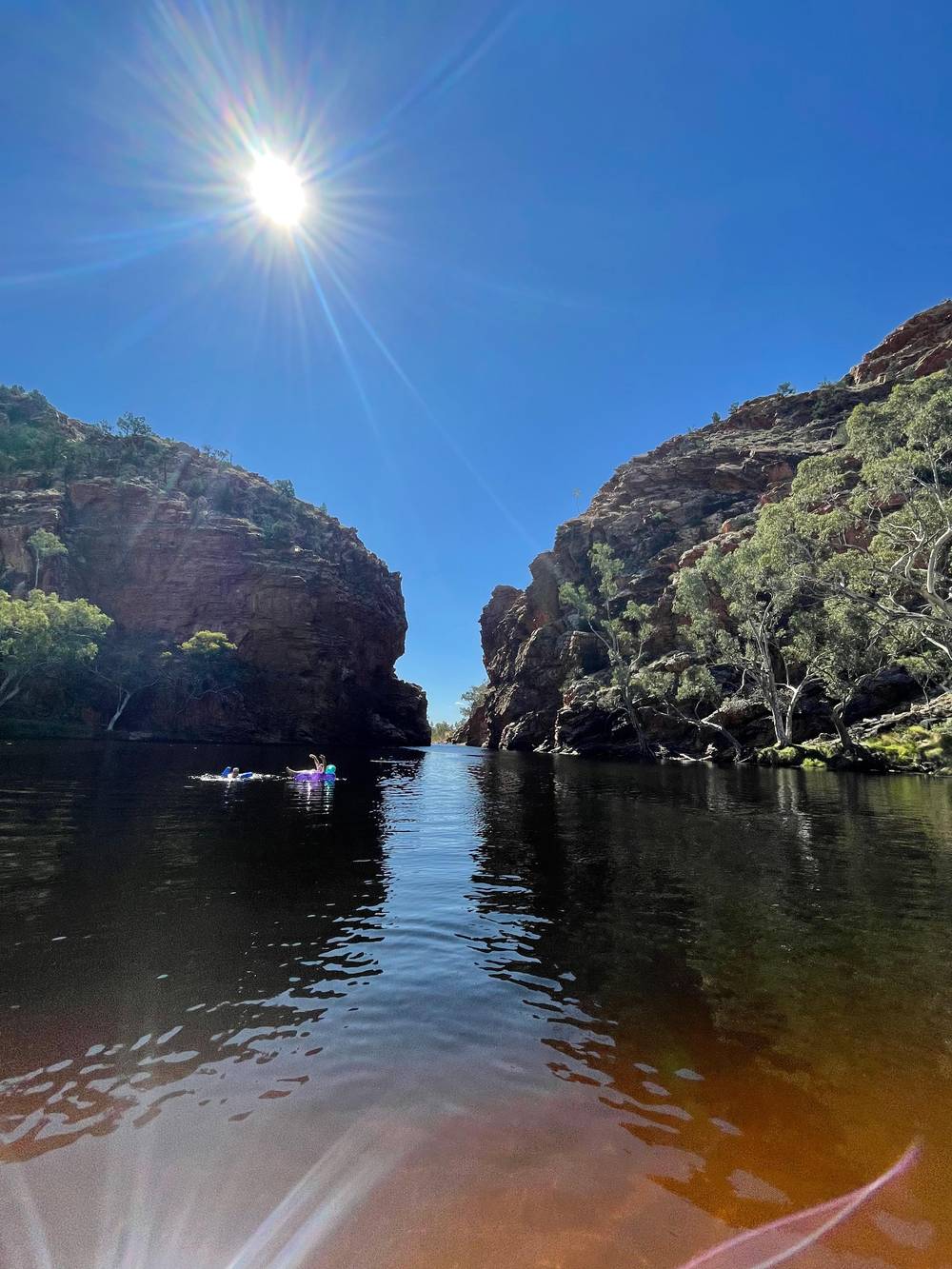
Nigel & Sue Adventures on YouTube · The clip loads only after you tap play.
Jumping and diving in to the water is not recommended as the conditions under the surface are always changing, with submerged boulders, rocks and logs being a potential danger.
Pack and plan
Tent and caravan camping is available in designated sites, and fees apply.92 Tourism Central Australia lists the fee as AUD 6.60 per adult, AUD 3.30 per child aged 5 to 15 and AUD 15.40 per family.93 There is no booking for a site: it is first come, first served, paid at the kiosk on site.5 The campground has toilets, BBQs, ranger stations, a kiosk, picnic tables and showers.94
Staying a night changes the visit. You get the Ghost Gum Lookout at sunrise without a 2-hour drive first, the Waterhole Walk at dusk and the pound walk in the cool of the morning.7 With Glen Helen's accommodation currently closed, a tent at Ormiston is one of the few ways to sleep at this end of the ranges.84 Arrive early in the cool season if you need a site.
On the site's day trip Ormiston Gorge is the lunch stop, with 1 hour for a walk and a meal. Two other GetYourGuide day tours give it 1.5 hours with swimming, listed from $123 and from $121. An hour is enough for the Waterhole Walk, the beach and a quick dip. The Pound Walk needs your own car, a longer tour or a night in the park.
Timing shapes an Ormiston visit more than anything else. Ghost Gum Lookout is the regional tourism body's pick for the first and last light of the day.32 Midday is for the water, and dusk brings the best odds of wildlife on the Waterhole Walk.31 Tourism Central Australia's general advice for the region is to plan hikes, day trips and swims for early in the morning.95
Through the year the picture shifts. The cooler months of April to September are the most popular time to visit.96 The pool is at its best for swimming after rain, when it has been topped up.21 In summer, start at sunrise and be finished with the long walks before midday.97 Winter brings the opposite problem: water cold enough that even a quick dip feels brave.22
Whatever the month, pack for both heat and water. A hat, sunscreen, a first aid kit, walking shoes and swimwear cover most visits to the ranges.98 Add a warm layer if you are camping in winter, since evenings get cold.99 Then let the gorge set the pace. A slow lap of the pools with a stop on the sand is worth more than racing the clock to tick off a walk.
FAQ
Tourism NT puts the southern end at up to 14 m, and the pool is 500 m from the visitor centre.2
It is a Grade 3 loop of about 9 km that takes around 3 to 4 hours.29
It is a 300 m paved Grade 1 path of about five minutes.3
Sites are not booked; you pay at the kiosk on site.5
There are no crocodiles in Central Australia.25
Sources
Planning a day in the West Macs? A real person answers here.