Free stop
The Ochre Pits shelter
Self-guided, free
See this dayGuides
Language
Currency
Find open datesfrom $175 · cancel for freePick out your stop
Brief answer
The Ochre Pits, 110 km west of Alice Springs, are a free, culturally active Arrernte ochre quarry where visitors look but never touch the ochre.
Ochre essentials
Check out 51 stops
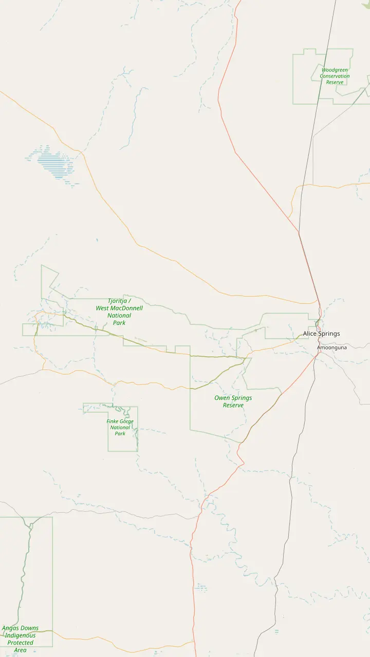
Choose a route and tap a pin or stop to see its note and open it in Google Maps.
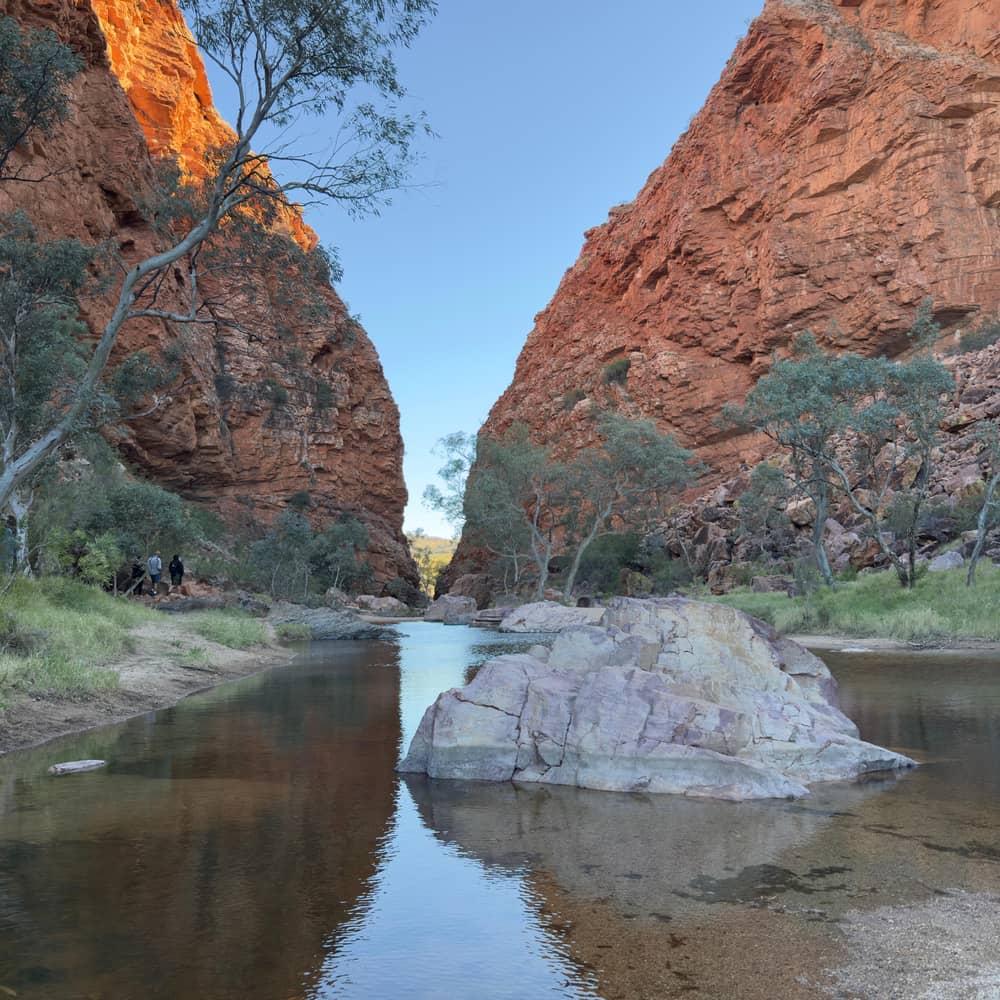
Simpsons Gap is Rungutjirpa to the Arrernte people, the home of giant goanna ancestors.
Google MapsAngkerle Atwatye means the Gap of Water.
Google MapsThe Aboriginal name for Ellery Big Hole is Udepata.
Google MapsSerpentine Gorge is the site of the Carpet Snake Dreaming.
Google MapsOchre from the pits is the primary material for traditional rock art in the region.
Google MapsOrmiston Gorge is a sacred site for the Western Arrernte people.
Google MapsGlen Helen Gorge is known to its traditional Arrernte owners as Yapalpe.
Google MapsMount Sonder is Rutjupma to the Western Arrernte, for whom it is sacred.
Google Maps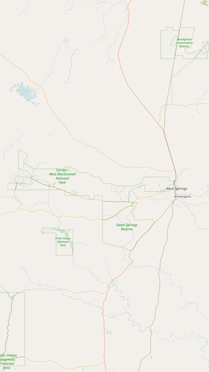
Alice Springs is where day trips start: the major stops range from 15 minutes to approximately 2 hours' drive away.
Google MapsJohn Flynn's Grave, 7 km west of town, holds the ashes of the founder of the Royal Flying Doctor Service.
Google MapsSimpsons Gap is 18 km from Alice Springs, with red cliffs and a permanent waterhole where swimming is not permitted.
Google MapsStandley Chasm is Aboriginal-owned land off Larapinta Drive, about 50 km west of Alice Springs, with its own entry fee.
Google MapsEllery Creek Big Hole is a flood-carved waterhole for swimming, believed to be up to 27 m deep.
Google MapsSerpentine Gorge is 100 km west of Alice Springs; swimming is prohibited there for cultural and environmental reasons.
Google MapsThe Ochre Pits are 110 km west of Alice Springs, a colourful outcrop of ochre on a sandy creek bank.
Google MapsOrmiston Gorge is 135 km west of Alice Springs on sealed roads, with a near-permanent waterhole for swimming.
Google MapsGlen Helen Gorge is 132 km from Alice Springs, where the ranges part for the Finke River.
Google MapsRedbank Gorge is 156 km west of Alice Springs; its last 5 km of road is unsealed and high clearance is recommended.
Google Maps
The Ormiston waterhole is just 500 m from the visitor centre and up to 14 m deep at its southern end.
Google MapsGhost Gum Lookout is a Grade 3 walk of around 45 minutes from the car park, with a platform and stairs at the top.
Google MapsMt Giles, 1,389 m, rises east of the pound as the high point of the Chewings Range.
Google MapsThe Finke River trailhead sits near where Ormiston and Davenport creeks join to begin the Finke River; walkers only.
Google MapsFrom Glen Helen a 4.5 km walking track leads to the Finke River trailhead.
Google MapsMount Sonder, 1,380 m above sea level, is the peak you see from this lookout on Namatjira Drive.
Google Maps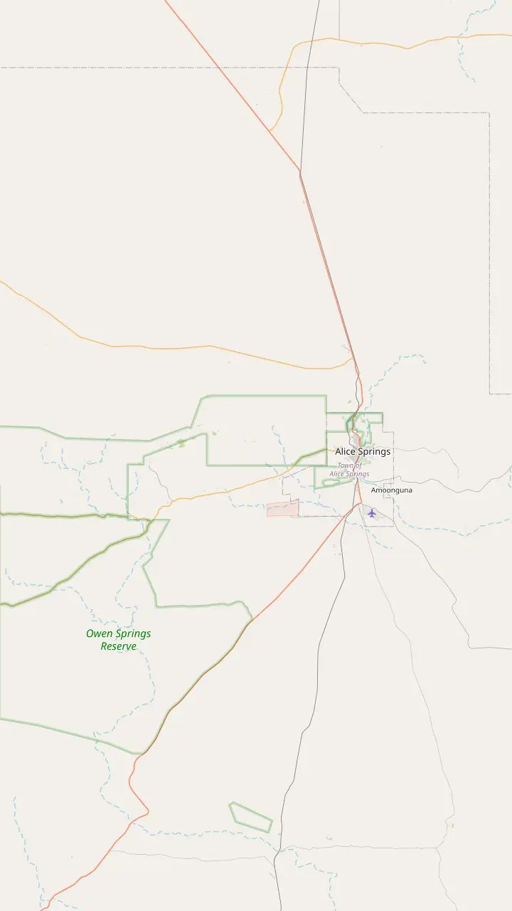
From town the Simpsons Gap Bicycle Path starts at John Flynn's Grave, 7 km west of Alice Springs.
Google MapsJohn Flynn's Grave Historical Reserve is 7 km west of Alice Springs.
Google MapsAt dawn and dusk Black-footed Rock-wallabies may be seen from the track into Simpsons Gap.
Google MapsThe Cassia Hill Walk is a 1.5 km loop of about one hour with views over the ranges.
Google MapsJay Creek ends Larapinta section 2, 24 km from Simpsons Gap, and section 3 runs 13 km on to Standley Chasm.
Google MapsStandley Chasm is 80 m tall and only 3 m wide at its narrowest.
Google Maps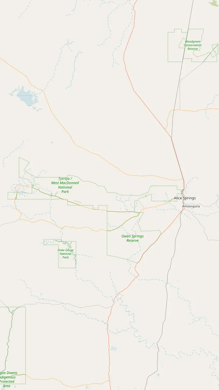
The Telegraph Station, where the trail starts, was established in 1871 to relay messages between Darwin and Adelaide.
Google MapsSection 1 from Alice Springs to Simpsons Gap is 23 km.
Google MapsSection 2 from Simpsons Gap to Jay Creek is 24 km.
Google MapsBoth entry points for sections 3 and 4 sit inside the Standley Chasm gates.
Google MapsBirthday Waterhole is a semi-permanent pool; its campsites are 4WD only, with no facilities.
Google MapsSection 5 ends at Hugh Gorge after Razorback Ridge, one of the hardest stretches of the trail.
Google MapsEllery Creek Big Hole gives access to sections 6 and 7 of the trail.
Google MapsSerpentine Gorge is the trailhead for sections 7 and 8.
Google MapsSerpentine Chalet is reached by four-wheel drive only.
Google MapsOrmiston Gorge is the trailhead for sections 9 and 10.
Google MapsSection 10 is Grade 3 and section 11 is Grade 4.
Google MapsRedbank Gorge is the base for the Mount Sonder climb, with camping only at its two designated campsites.
Google MapsMount Sonder is section 12 of the trail, 1,380 m above sea level.
Google Maps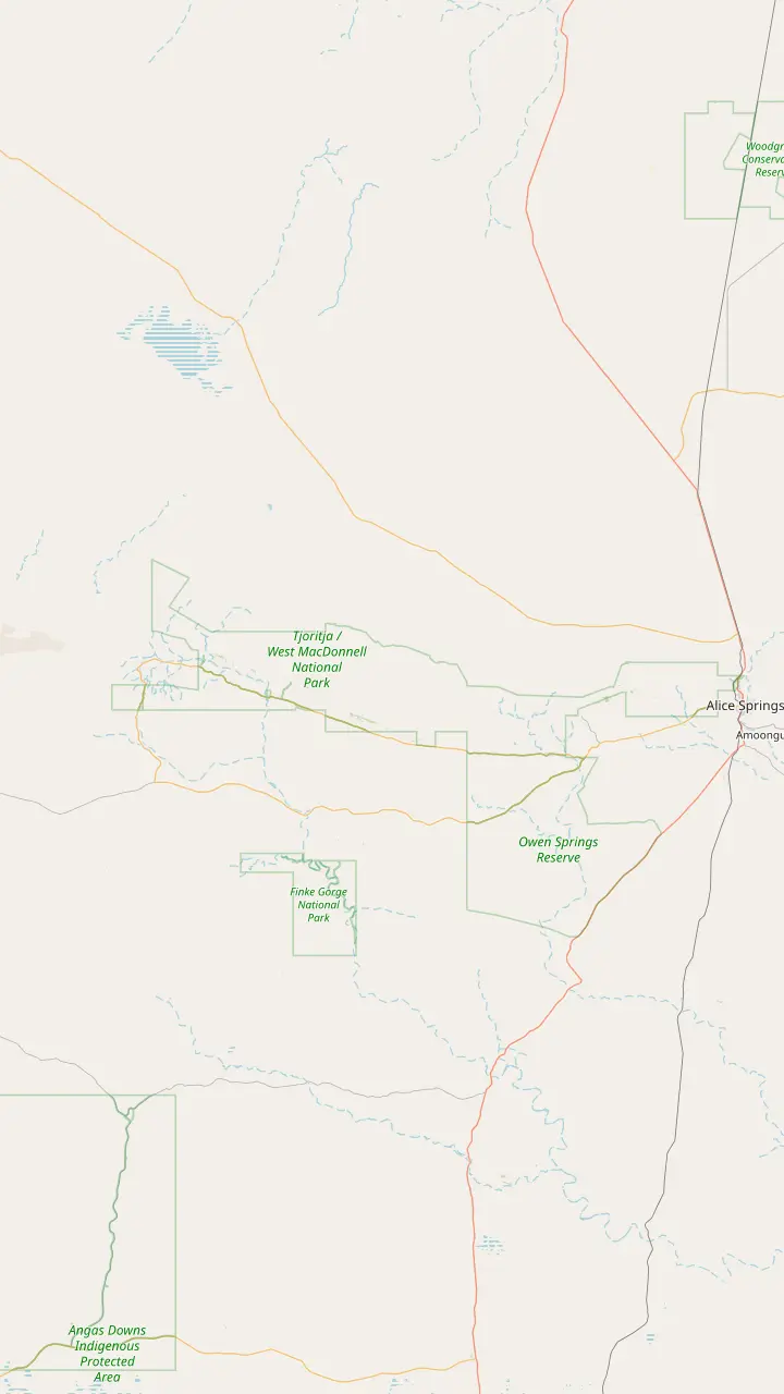
Ellery Creek has ten designated sites, booked online, at AUD 4 per adult.
Google MapsSerpentine Chalet bush camp is reached by four-wheel drive only.
Google MapsOrmiston Gorge campsites are first come, first served and paid at the kiosk.
Google MapsThe Finke 2 Mile campground sits on the Finke River near the Mt Sonder Lookout, around 130 km west of Alice Springs.
Google MapsWoodland is one of the two Redbank Gorge campgrounds; bring your own water, gas and firewood.
Google MapsRidgetop is the other Redbank Gorge campground, a base for the Mount Sonder climb.
Google MapsCamping at Standley Chasm includes entry to the chasm during your stay.
Google MapsThe rooms and campground at Discovery Parks - Glen Helen are currently closed, so check before planning a night there.
Google MapsMap © OpenStreetMap contributors
The Ochre Pits are a small stop with a long story: a quarry of coloured earth used by Arrernte people for generations, set in ranges whose rock is among the oldest on the road west.
Editorial team, westmacdonnellrangestour.top · Updated November 8, 2026 · 7 mins to read
Essentials
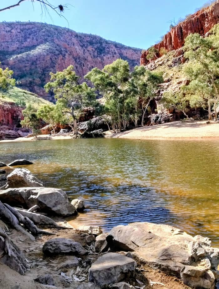
The Ochre Pits in the West MacDonnell Ranges sit 110 km west of Alice Springs, where a sandy creek has exposed a bank of coloured ochre.1 They are free to visit and signposted between Ellery Creek Big Hole and Ormiston Gorge.2 The site is open daily, 24 hours, with a barbecue, car park, picnic area and public toilet.6 Most people stop for half an hour, but the walls reward a slow look.
What you see is a creek bank cut into bands of colour. An information shelter at the site explains how, why and when the pits were used.7 Read it before you walk down to the wall. Without that context the place looks like a pretty geological curiosity, and with it the layers of colour become a quarry that people have returned to for a very long time.
Local Aboriginal people have quarried them for generation after generation.8 Tourism NT calls them a long-standing quarry for important ochre pigments, one of the features of the landscape that are significant to the Arrernte people.9 On the site's day trip the Ochre Pits are a guided stop of 15 minutes, while two other GetYourGuide day tours give them 30 minutes.
Names on the land
| Place | Arrernte name | What the sources share |
|---|---|---|
| Simpsons Gap | Rungutjirpa23 | Home of giant goanna ancestors23 |
| Standley Chasm | Angkerle Atwatye24 | The Gap of Water24 |
| Ellery Creek Big Hole | Udepata25 | Fish and honey ant dreaming trails26 |
| Serpentine Gorge | Ulpma27 | Carpet Snake Dreaming28 |
| Ormiston Gorge | Kwartatuma29 | A sacred site30 |
| Glen Helen Gorge | Yapalpe31 | Itye, a moon ancestor32 |
| Mount Sonder | Rutjupma33 | The pregnant lady33 |
Names and stories as Tourism NT and Tourism Central Australia publish them; spellings differ between sources.
Ochre occurs in earthy colours ranging from white through yellow, orange and red to browns.3 Painters and ceremonies both depend on it, for artwork and for decorating the body.13 Tourism Central Australia says this ochre is the main material of the region's traditional rock art, and of contemporary art as well.14 That link between this creek bank and the art you see in Alice Springs galleries is worth keeping in mind.
Ochre also had everyday uses. Weapons were painted with ochre to improve hunting success and to protect wooden weapons from termites.15 Spears and other tools were decorated with it, as were rock surfaces and bodies in ceremony.16 Red ochre was mixed into an ointment to relieve congestion, and white ochre was used as a charm.17 Few materials in any culture carry so many roles at once.
The site matters as a living place, not a museum piece. The Ochre Pits have been an important cultural site to the Arrernte people for thousands of years.18 The significance of such places is expressed through Dreamtime stories and ongoing traditions of rock art, dance and hunting rituals.19 What visitors are told at the shelter is what the owners choose to share, and that is the right amount to know.
Tourism Central Australia regards the Ochre Pits as one of the best quality ochre sources in the country.39 The ochre here has a silken texture and a glimmer that come from Mica and Heavitree Quartzite.40 Look closely at the walls in the low light of morning or late afternoon and you may catch that sheen in the reds and yellows.
The rule is simple and firm. The Ochre Pits are a culturally active site, so visitors must not touch, use or remove the ochre, and interference can bring heavy fines.4 That includes rubbing a finger along the wall for a photo, scraping a sample or picking up a fallen piece. Photograph from the path and leave the colours where they are for the people who still use them.
It helps to think of the pits the way you would think of a working quarry or a sacred building. The ochre is not decoration put there for visitors, and it is not abundant. Keep children close, stay off the soft banks, and if a group is using the site, give them room. Respect here costs nothing, and it is the whole point of the stop.
Plan your visit
Pick the line that matches what you want to understand.
If I want the ochre itself
Read the shelter first
It explains how, why and when the pits were used.7
If I want to hear it from the owners
Ask at Standley Chasm
Guided tours cover bush foods and traditional knowledge.35
If I love painting
Look for Namatjira
He used watercolour to paint his Arrernte homeland.37
If I am into rocks
Ellery and Glen Helen
Ellery is an internationally significant geological site.12
If I have little time
The day trip's guided stop
The day trip makes a guided 15-minute stop at the pits.
Learning on Country
Free stop
Self-guided, free
See this day
Guided
Aboriginal-owned
See this day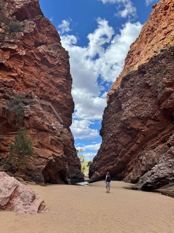
Site tour
Guided ochre stop
Tjoritja is the traditional Arrernte name for the West MacDonnell Ranges, and official guides use the double form Tjoritja / West MacDonnell Ranges.92,93 Arrernte people have lived here for tens of millennia, and their dreaming stories make many sites in the ranges sacred.94 The ridges themselves are said in Arrernte creation stories to have been created by giant caterpillars, Yeperenye.38
Most of the main stops have an Arrernte name, and the official sources share some of the stories behind them. Simpsons Gap is Rungutjirpa, where giant goanna ancestors made their home.23 Angkerle Atwatye, Standley Chasm, means the Gap of Water.24 Ellery Big Hole is Udepata, a gathering place of the Aranda people, on dreaming trails of the fish and honey ant.25,26 Serpentine Gorge is the site of the Carpet Snake Dreaming.28
Further west, the regional hiking page names Ormiston Gorge as Kwartatuma.29 Glen Helen Gorge is Yapalpe to its traditional Arrernte owners, and its story relates to Itye, a moon ancestor.31,32 Mount Sonder is Rutjupma, the pregnant lady, sacred to the Western Arrernte.33 For Redbank Gorge the sources differ: Tourism NT gives Rutjupma, while Tourism Central Australia gives Yarretyeke.95,96
From rock to ochre
Deep past
Rock components dating back nearly 2,400 million years.5
Folding
Tectonic plates pushed together and forced the ranges upward.10
Long erosion
From over 4,500 m to a fraction of that today.11
Floods
Thousands of years of floods cut Ellery Creek Big Hole.12
Generations
Mined for generations by the local Aboriginal people.8
Today
A culturally active site with heavy fines for interference.4
How old are the West MacDonnell Ranges? Tourism Central Australia reports estimates that the 500 km stretch of the MacDonnell Ranges began forming 1,000 million years ago, from rock components nearly 2,400 million years old.5 The ranges are thought to have risen in a folding event, where tectonic plates pushed together and the meeting points were forced upward.10 The figures are estimates, and they are presented that way.
Time has worn them down hard. Tourism Central Australia says the ranges once stood over 4,500 m high and that erosion has cut them down to a fraction of that; the highest peak, Mt Zeil, now reaches 1,531 m.11,97 Along Larapinta section 2 the rock outcrop landscape is around 2 billion years old.20 Glen Helen Gorge's geology is thought to be 500 million years old, carved by the ancient river.21 Standley Chasm's owners add that the Finke river system ranks with the oldest anywhere.98
Water did the carving you see today. Thousands of years of massive floods cut Ellery Creek Big Hole, today ranked a geological site of international significance.12 Relics of a bygone tropical forest survive in many of the cool gorges.99 Further west, Tylers Pass Lookout overlooks Tnorala, an ancient crater from a comet impact, which scientists believe formed some 143 million years ago.100,22
Video
The Travel Junkie on YouTube · The clip loads only after you tap play.
The ridges of the MacDonnell Ranges are the focus of their important Dreamtime creation stories and are said to have been created by giant caterpillars (Yeperenye).
Visit with respect
The landscape has a famous painter. Albert Namatjira was an Aboriginal artist from the Arrernte people of the West MacDonnell Ranges.101 He founded the Hermannsburg School of painting and used Western watercolour techniques to paint his homeland.37 Tourism Central Australia credits his art with making this ancient landscape famous.102 Seeing the real ridges after his paintings is a strange and good experience.
If you want to learn more than a sign can say, the best place is Standley Chasm, fully owned and run by the Western Arrernte people.34 Its guided tours cover local bush foods, traditional knowledge, native plants and wildlife.35 Availability varies through the year, so contact the owners before you go.36 Art classes are also offered at the chasm.103
For the Ochre Pits themselves, timing matters less than manners. Visit in the cooler months if you can, since the most popular season runs April to September, and carry water whatever the month.104,105 Read the shelter, walk the path, photograph without touching and move on quietly. Pair the stop with Ormiston Gorge to the west or Ellery Creek to the east.
By car, the Ochre Pits sit on the Namatjira Drive stretch of the park, 110 km from Alice Springs.1 Most of the park, including the best-known stops, can be reached in a 2WD.106 The turn-off is signposted, and the stop pairs naturally with Ellery Creek Big Hole to the east and Ormiston Gorge to the west.2 Carry your NT Parks Visitor Pass, as entry to the park needs one.90
On a tour, the pits are a short guided stop. The site's day trip gives them 15 minutes with a guide, between Standley Chasm in the morning and lunch at Ormiston Gorge. Two other GetYourGuide day tours allow 30 minutes there. A guided stop is a good way to hear what the shelter only hints at.
However you arrive, slow down at this stop. The colours change with the angle of the sun, and the creek bed is a pleasant place to sit after the drive. Read the panels, look at the layers, and think about the hands that have taken ochre from this bank over generations. Then leave it as you found it, which is all the site asks of a visitor.4
FAQ
The pits are open to visitors for free.2
It is a culturally active site; interference with the ochre can result in heavy fines.4
Tjoritja is the name the traditional Arrernte owners give the West MacDonnell Ranges.92
The ochre has a silken texture and glimmer from Mica and Heavitree Quartzite.40
Sources
Planning a day in the West Macs? A real person answers here.