Listing
Half-day tour
Gap and chasm
- Length5 hours
- StopsFlynn's Grave, Simpsons Gap, Standley Chasm
- Pricefrom $95
Guides
Language
Currency
Find open datesfrom $175 · cancel for freePick out your stop
Check out 51 stops
Choose a route and tap a pin or stop to see its note and open it in Google Maps.
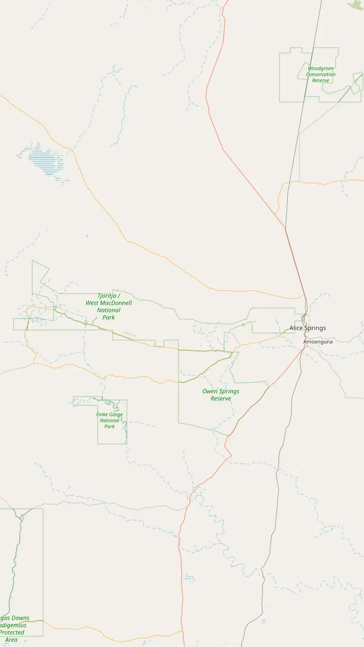
Alice Springs is where day trips start: the major stops range from 15 minutes to approximately 2 hours' drive away.
Google MapsJohn Flynn's Grave, 7 km west of town, holds the ashes of the founder of the Royal Flying Doctor Service.
Google MapsSimpsons Gap is 18 km from Alice Springs, with red cliffs and a permanent waterhole where swimming is not permitted.
Google MapsStandley Chasm is Aboriginal-owned land off Larapinta Drive, about 50 km west of Alice Springs, with its own entry fee.
Google MapsEllery Creek Big Hole is a flood-carved waterhole for swimming, believed to be up to 27 m deep.
Google MapsSerpentine Gorge is 100 km west of Alice Springs; swimming is prohibited there for cultural and environmental reasons.
Google MapsThe Ochre Pits are 110 km west of Alice Springs, a colourful outcrop of ochre on a sandy creek bank.
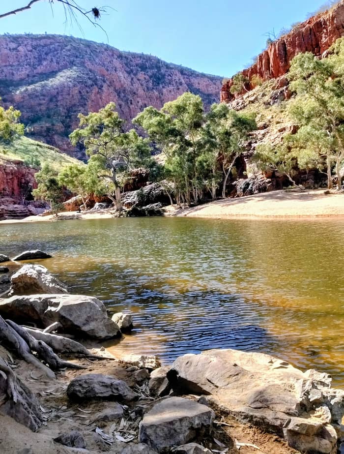
Google MapsOrmiston Gorge is 135 km west of Alice Springs on sealed roads, with a near-permanent waterhole for swimming.
Google MapsGlen Helen Gorge is 132 km from Alice Springs, where the ranges part for the Finke River.
Google MapsRedbank Gorge is 156 km west of Alice Springs; its last 5 km of road is unsealed and high clearance is recommended.
Google Maps
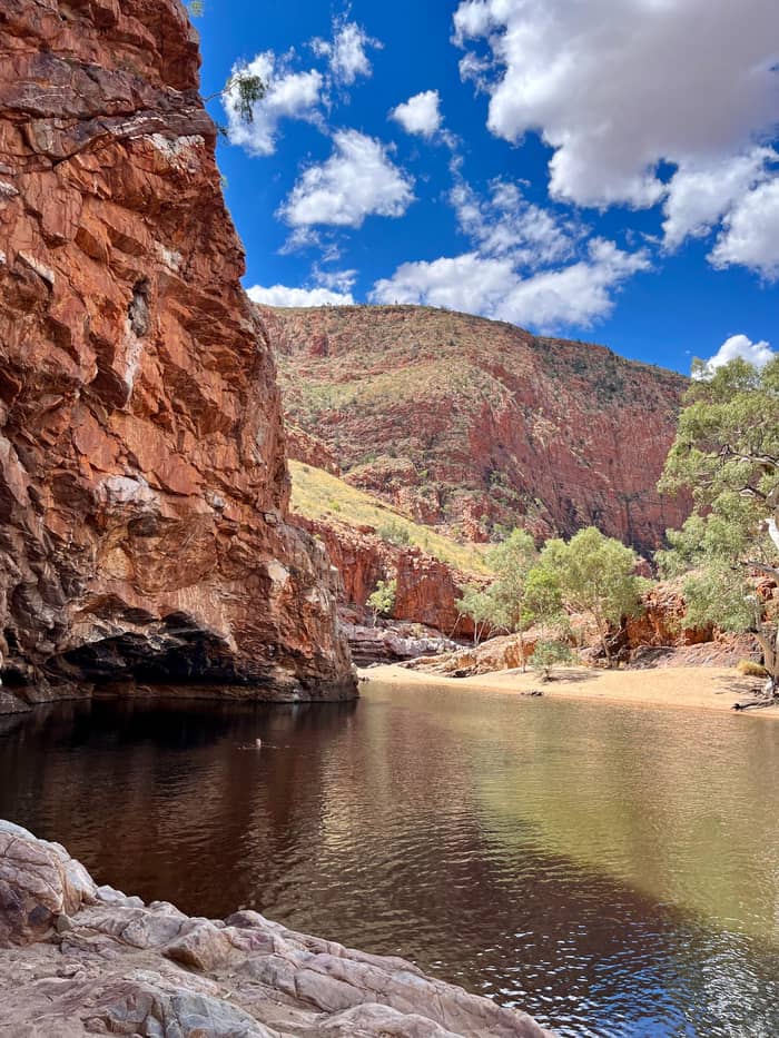
The Ormiston waterhole is just 500 m from the visitor centre and up to 14 m deep at its southern end.
Google MapsGhost Gum Lookout is a Grade 3 walk of around 45 minutes from the car park, with a platform and stairs at the top.
Google MapsMt Giles, 1,389 m, rises east of the pound as the high point of the Chewings Range.
Google MapsThe Finke River trailhead sits near where Ormiston and Davenport creeks join to begin the Finke River; walkers only.
Google MapsFrom Glen Helen a 4.5 km walking track leads to the Finke River trailhead.
Google MapsMount Sonder, 1,380 m above sea level, is the peak you see from this lookout on Namatjira Drive.
Google Maps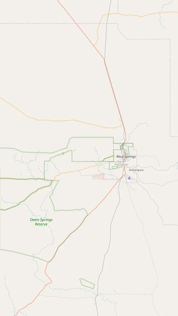
From town the Simpsons Gap Bicycle Path starts at John Flynn's Grave, 7 km west of Alice Springs.
Google MapsJohn Flynn's Grave Historical Reserve is 7 km west of Alice Springs.
Google MapsAt dawn and dusk Black-footed Rock-wallabies may be seen from the track into Simpsons Gap.
Google MapsThe Cassia Hill Walk is a 1.5 km loop of about one hour with views over the ranges.
Google MapsJay Creek ends Larapinta section 2, 24 km from Simpsons Gap, and section 3 runs 13 km on to Standley Chasm.
Google MapsStandley Chasm is 80 m tall and only 3 m wide at its narrowest.
Google Maps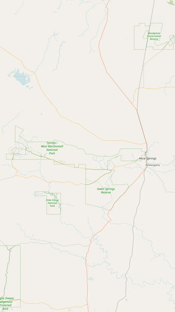
The Telegraph Station, where the trail starts, was established in 1871 to relay messages between Darwin and Adelaide.
Google MapsSection 1 from Alice Springs to Simpsons Gap is 23 km.
Google MapsSection 2 from Simpsons Gap to Jay Creek is 24 km.
Google MapsBoth entry points for sections 3 and 4 sit inside the Standley Chasm gates.
Google MapsBirthday Waterhole is a semi-permanent pool; its campsites are 4WD only, with no facilities.
Google MapsSection 5 ends at Hugh Gorge after Razorback Ridge, one of the hardest stretches of the trail.
Google MapsEllery Creek Big Hole gives access to sections 6 and 7 of the trail.
Google MapsSerpentine Gorge is the trailhead for sections 7 and 8.
Google MapsSerpentine Chalet is reached by four-wheel drive only.
Google MapsOrmiston Gorge is the trailhead for sections 9 and 10.
Google MapsSection 10 is Grade 3 and section 11 is Grade 4.
Google MapsRedbank Gorge is the base for the Mount Sonder climb, with camping only at its two designated campsites.
Google MapsMount Sonder is section 12 of the trail, 1,380 m above sea level.
Google Maps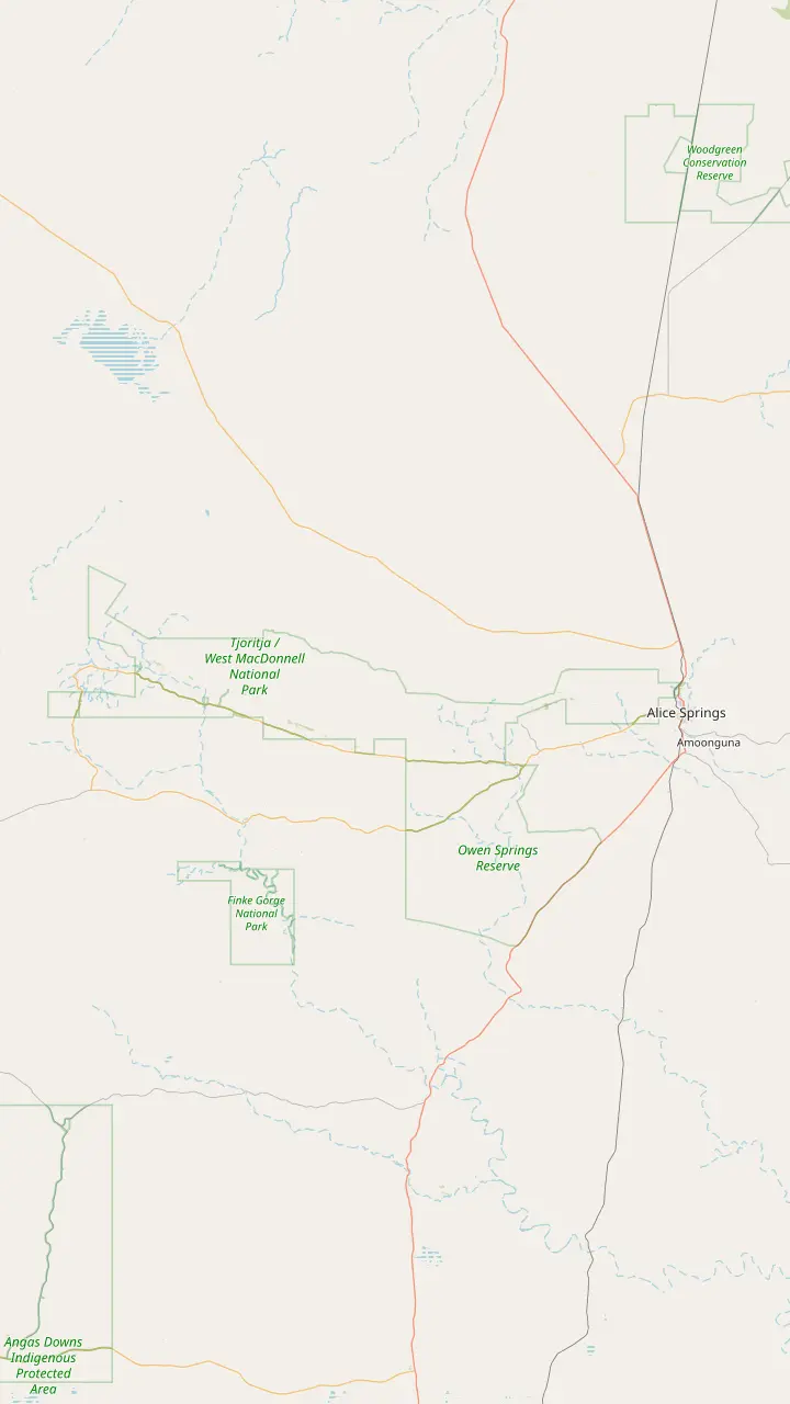
Simpsons Gap is Rungutjirpa to the Arrernte people, the home of giant goanna ancestors.
Google MapsAngkerle Atwatye means the Gap of Water.
Google MapsThe Aboriginal name for Ellery Big Hole is Udepata.
Google MapsSerpentine Gorge is the site of the Carpet Snake Dreaming.
Google MapsOchre from the pits is the primary material for traditional rock art in the region.
Google MapsOrmiston Gorge is a sacred site for the Western Arrernte people.
Google MapsGlen Helen Gorge is known to its traditional Arrernte owners as Yapalpe.
Google MapsMount Sonder is Rutjupma to the Western Arrernte, for whom it is sacred.
Google Maps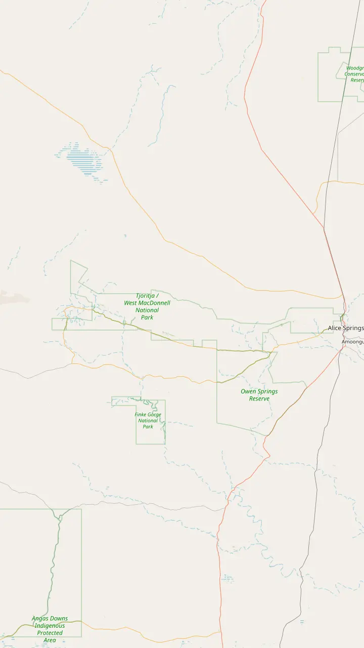
Ellery Creek has ten designated sites, booked online, at AUD 4 per adult.
Google MapsSerpentine Chalet bush camp is reached by four-wheel drive only.
Google MapsOrmiston Gorge campsites are first come, first served and paid at the kiosk.
Google MapsThe Finke 2 Mile campground sits on the Finke River near the Mt Sonder Lookout, around 130 km west of Alice Springs.
Google MapsWoodland is one of the two Redbank Gorge campgrounds; bring your own water, gas and firewood.
Google MapsRidgetop is the other Redbank Gorge campground, a base for the Mount Sonder climb.
Google MapsCamping at Standley Chasm includes entry to the chasm during your stay.
Google MapsThe rooms and campground at Discovery Parks - Glen Helen are currently closed, so check before planning a night there.
Google MapsMap © OpenStreetMap contributors
The ranges run west from Alice Springs along Larapinta and Namatjira Drives. This guide puts each gap, gorge and waterhole in road order, with its distance, its walk and the time worth giving it.
Editorial team, westmacdonnellrangestour.top · Updated November 8, 2026 · 7 mins to read
Essentials
Open any West MacDonnell Ranges map and the shape is easy to read: a long band of red ridges running west from Alice Springs, with the sealed road tracing its southern foot and the gorges cut through it like notches. Tjoritja / West MacDonnell National Park stretches for 161 km west of the town.1 Tjoritja is the traditional Arrernte name for these ranges, and official guides use both names side by side.6 Nearly every stop on this page hangs off that single line of road.
The road has two names along the way. The route to Ormiston shows the pattern: 47 km on Larapinta Drive, a right turn and 81 km along Namatjira Drive, then a final right turn and 7 km to the car park.7 Standley Chasm stays on the Larapinta Drive side, about 50 km out of town.8 Everything west of that junction, from Ellery Creek to Redbank, is reached from Namatjira Drive.
Distances on the ground are larger than the map makes them feel. Drive times to the big stops run from 15 minutes to roughly 2 hours.9 A 2WD reaches most of the park and all the best-known stops, and only a few natural sites call for a 4WD.10 There is no public transport to Standley Chasm, so a car or a tour is the only way in.11 Plan the day as a line, not a loop.
Stop by stop
| Stop | From town | Short walk | Swimming |
|---|---|---|---|
| Simpsons Gap | 18 km2 | Ghost Gum walk, about 15 minutes24 | Not permitted25 |
| Standley Chasm | About 50 km8 | 2.4 km round trip26 | Walk and look |
| Ellery Creek Big Hole | 80 km or 90 km19,20 | 5 minutes from the car park27 | Yes, cold and deep28 |
| Serpentine Gorge | 100 km21 | 1.3 km path29 | Prohibited30 |
| Ochre Pits | 110 km3 | Information shelter31 | Walk and look |
| Ormiston Gorge | 135 km23 | Waterhole Walk, 300 m32 | Yes, near-permanent33 |
| Glen Helen Gorge | 132 km22 | 5 minutes to the water34 | Yes, permanent35 |
| Redbank Gorge | 156 km4 | 2 km, 1.5 hours return36 | Yes, very cold37 |
Distances and walks as the official tourism bodies publish them; check road and closure reports before driving.
The Alice Springs to West MacDonnell Ranges distance depends entirely on which stop you mean, and the spread is wide. The first marker is the grave of John Flynn, a reserve just 7 km out of town and the start of the bicycle path to Simpsons Gap.16,17 Simpsons Gap itself is 18 km from Alice Springs.2 Tourism Central Australia puts it at around 20 minutes by car on a sealed road.18 It is the one stop close enough for a short morning or a late afternoon.
Further out, the two official tourism bodies do not always agree. Tourism Central Australia gives Ellery Creek Big Hole as 80 km west of Alice Springs.19 Tourism NT calls it only 90 km from town.20 Serpentine Gorge is 100 km west.21 The Ochre Pits follow at 110 km.3 Treat each published figure as approximate and allow for the last short stretch of access road at each site.
The western end holds the biggest names. Glen Helen Gorge is 132 km from Alice Springs.22 Ormiston Gorge is 135 km west, on sealed roads.23 Redbank Gorge, the last stop for most visitors, lies 156 km west at the base of Mt Sonder.4 A return drive to the far end is a full day before you have walked anywhere, which is why many travellers either take a tour or split the ranges across more than one day.
Asking what to see in the West MacDonnell Ranges usually starts with the two sites nearest town. Simpsons Gap pairs high red walls with water that never dries up and animals that live on the rocks.2 Come at first or last light and you may spot Black-footed Rock-wallabies near the path.41 Swimming is not permitted there.25 The site opens daily from 5am to 8pm.42
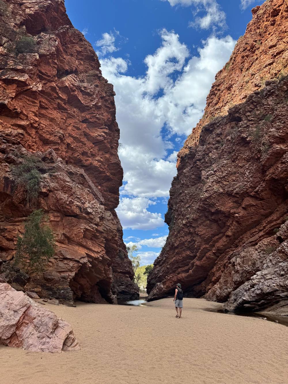
Standley Chasm is different in kind. The Western Arrernte people own and run it in full, through a land trust and an Aboriginal corporation.39 Its walls stand 80 m high and close to just 3 m apart.43 It keeps its own clock, with gates opening at 8 AM and the last walkers let into the chasm at 4:30 PM, except on Sundays, when the cut-off comes at 1:30 PM.44
Simpsons Gap also hides two short walks many drivers miss. Cassia Hill gives a view over the ranges for a loop of 1.5 km and roughly an hour on foot.45 For something gentler, a 15-minute Ghost Gum stroll starts behind the ranger station.24 Together with the chasm walk they make a half day that never strays far from Alice Springs, and they suit a first afternoon after a flight.
Pick your stretch
Match your time and wishes to a stretch of the road.
If I have a morning
Simpsons Gap and the chasm
Simpsons Gap is around 20 minutes from town, and Standley Chasm about 50 km out.18,8
If I want to swim
Ellery or Ormiston
Both hold swimmable water year-round, colder than you expect.38
If I want culture
Standley Chasm and the Ochre Pits
The chasm is Aboriginal-owned and the pits are a culturally active site.39,14
If I want the far west
Stay a night
Redbank Gorge is 156 km out at the base of Mt Sonder.4
If I do not want to drive
Take the day trip
It covers five main stops in 9 hours with hotel pickup.
Three ways to cover it
Listing
Gap and chasm
Site tour
Five main stops
Self-drive
As far as Redbank
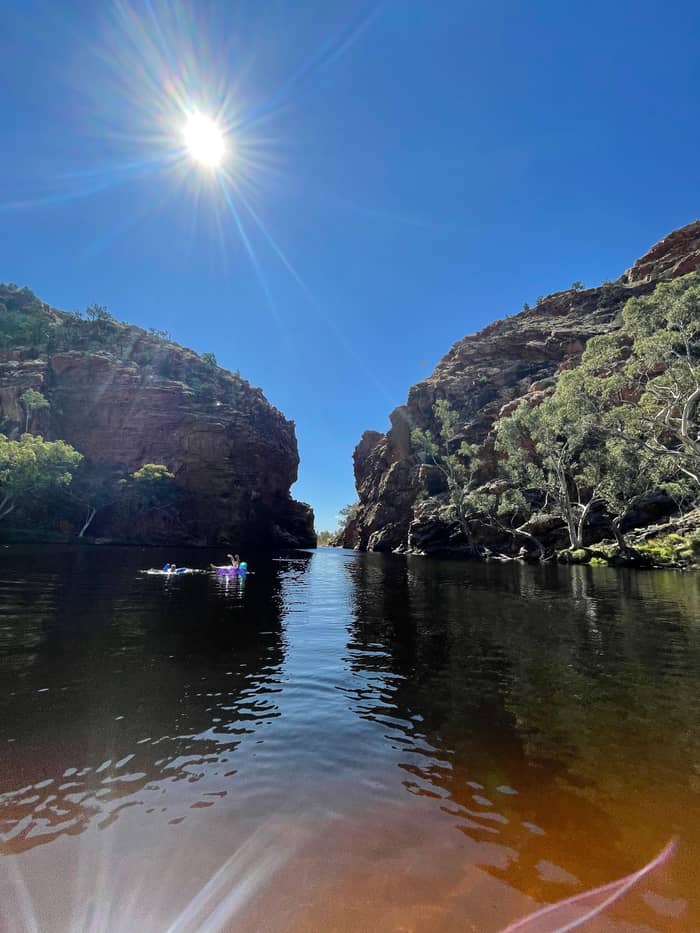
See this dayOnce you turn onto Namatjira Drive the stops change character. Ellery Creek Big Hole draws crowds for camping, walks, swims and picnics alike.91 Floods over thousands of years scoured its pool, now listed as a geological site of international importance.47 Its final 2 km is gravel that heavy rain can close to anything but a 4WD.13
Serpentine Gorge is the quiet one. In dry times its waterhole can be the only remaining water in a large area, and birds move in from the surrounding country.92,93 Swimmers stay out, for cultural as well as environmental reasons.30 The path in is a short, easy 1.3 km walk.29 The access road is not suitable for buses or caravans.94
Next come the Ochre Pits, a creek bank streaked in colour.3 A shelter at the site tells the story of the quarry and its use.31 Look and photograph, but leave the ochre alone, since it is a culturally active site and tampering is fined.14 There is no charge, and a sign marks the turn-off on the way to Ormiston.95
Road order
Alice Springs
Big stops lie between 15 minutes and roughly 2 hours away.9
Larapinta Drive
Simpsons Gap turns off Larapinta Drive, and Standley Chasm sits about 50 km out.12,8
Namatjira Drive
For Ormiston, leave Larapinta Drive after 47 km and follow Namatjira Drive for 81 km.7
Ellery Creek
Gravel for the final 2 km, and a 4WD helps after big rain.13
Ochre Pits
Photograph the colours and leave every grain in place.14
Ormiston Gorge
A 500 m stroll from the visitor centre to the water.15
At Ormiston the big draw is a pool that rarely dries and invites a swim on a hot day.33 It lies a short 500 m stroll from the visitor centre, and its deep southern end may reach 14 m.15 There is a kiosk at Ormiston, the only food stop between Standley Chasm and the far west while Glen Helen stays closed.96,87
At Glen Helen Gorge the Finke River breaks through the ranges.49 Its permanent waterhole is a summer refuge for all nine fish species recorded for the Finke and for migrating waterbirds.97 Its resort, Discovery Parks - Glen Helen, has shut its rooms and facilities for now, so check before counting on a meal or fuel there.87
Redbank Gorge ends most trips. Its pool lies up the creek bed, 2 km away, about 1.5 hours there and back.36 The last 5 km of road is dirt, and Tourism NT recommends a high-clearance vehicle.50 Mount Sonder rises behind it to 1,380 m above sea level.57 Its summit is the western end of the Larapinta Trail and a separate, very early climb.
Video
Han Travels Slow on YouTube · The clip loads only after you tap play.
You can find relics of a bygone tropical forest at many of the cool scenic gorges that act as a refuge for an assortment of plants and animals.
Before you set off
The tour this site sells is the GetYourGuide listing From Alice Springs: West MacDonnell Ranges Day Trip. It lasts 9 hours, collecting guests at 7:45am and dropping them back at about 5:30 pm. The stops run Simpsons Gap (30 minutes), Standley Chasm (1 hour), the Ochre Pits (15 minutes), Ormiston Gorge (1 hour) and Ellery Creek Big Hole (1 hour). It is listed from $175.
Read against the map, that is five of the main stops in a single day, with the far west left out. Serpentine Gorge, Glen Helen and Redbank Gorge are not on its stop list. The chasm is the morning-tea stop and Ormiston the lunch stop, while Ellery Creek is where guests can swim when the weather is warm. Each guest needs their own NT Parks Pass to show, and a copy on a phone is fine.
If you would rather drive, use this map as a menu. A half day covers the gap and the chasm, a full day reaches Ormiston and back, and the western gorges reward a night in the park. Tourism Central Australia points walkers to the Avenza Maps app to follow their position on the interactive park map, useful where phone signal fades.89 Mobile reception along the ranges can be highly unreliable and patchy.98
For a half day, stay on the Larapinta Drive side of the map. Simpsons Gap is a short run from town, about 20 minutes on sealed road, and the chasm is a 40-minute drive west.18,99 Walk Cassia Hill or the creek at the gap first, then reach the chasm before the gates lock. That loop has you back in Alice Springs by mid-afternoon, with energy left for the town.
A full day means committing to Namatjira Drive. Ellery Creek, the Ochre Pits and Ormiston sit in a row, and a day that reaches Ormiston and turns back takes in the core of the park. An adult pays AUD 10 for a single day's NT Parks Visitor Pass, or AUD 20 to cover 3 days, which is worth knowing before you decide how many days to spread the map over.100 Leave early, as the far stops are the long ones.
Two days let the western end breathe. Camp at Ormiston, where sites are first come, first served, or at Redbank, where the two designated campgrounds sit at the foot of Mt Sonder.82,70 Bring your own water for any night in the park, as Tourism NT advises.101 The second morning can then start at Redbank or on the Ghost Gum Lookout, long before the day-trip coaches arrive.
FAQ
Tourism NT names Glen Helen, Redbank, Ormiston and Ellery Creek, all inside a two-hour drive of town.103
The site's 9-hour day trip reaches the gap, the chasm, the ochre, Ormiston and a final swim at Ellery.
Tourism Central Australia points walkers to the Avenza Maps app to track a walk on the interactive park map.89
Sources
Planning a day in the West Macs? A real person answers here.