Self-guided
End to end alone
Self-sufficient
See this tripGuides
Language
Currency
Find open datesfrom $175 · cancel for freePick out your stop
Brief answer
The Larapinta Trail runs 231 km by Tourism NT's figure, or 223 km by Tourism Central Australia's, in 12 sections from Alice Springs to Mount Sonder, walked best April to September.
Trail essentials
Check out 51 stops
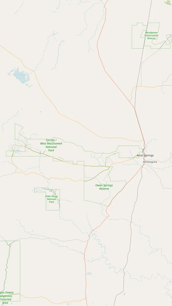
Choose a route and tap a pin or stop to see its note and open it in Google Maps.
The Telegraph Station, where the trail starts, was established in 1871 to relay messages between Darwin and Adelaide.
Google MapsSection 1 from Alice Springs to Simpsons Gap is 23 km.
Google MapsSection 2 from Simpsons Gap to Jay Creek is 24 km.
Google MapsBoth entry points for sections 3 and 4 sit inside the Standley Chasm gates.
Google MapsBirthday Waterhole is a semi-permanent pool; its campsites are 4WD only, with no facilities.
Google MapsSection 5 ends at Hugh Gorge after Razorback Ridge, one of the hardest stretches of the trail.
Google MapsEllery Creek Big Hole gives access to sections 6 and 7 of the trail.
Google MapsSerpentine Gorge is the trailhead for sections 7 and 8.
Google MapsSerpentine Chalet is reached by four-wheel drive only.
Google MapsOrmiston Gorge is the trailhead for sections 9 and 10.
Google MapsSection 10 is Grade 3 and section 11 is Grade 4.
Google MapsRedbank Gorge is the base for the Mount Sonder climb, with camping only at its two designated campsites.
Google MapsMount Sonder is section 12 of the trail, 1,380 m above sea level.
Google Maps
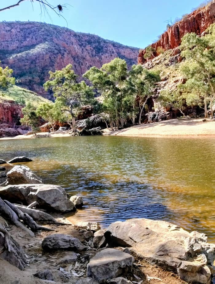
The Ormiston waterhole is just 500 m from the visitor centre and up to 14 m deep at its southern end.
Google MapsGhost Gum Lookout is a Grade 3 walk of around 45 minutes from the car park, with a platform and stairs at the top.
Google MapsMt Giles, 1,389 m, rises east of the pound as the high point of the Chewings Range.
Google MapsThe Finke River trailhead sits near where Ormiston and Davenport creeks join to begin the Finke River; walkers only.
Google MapsFrom Glen Helen a 4.5 km walking track leads to the Finke River trailhead.
Google MapsMount Sonder, 1,380 m above sea level, is the peak you see from this lookout on Namatjira Drive.
Google Maps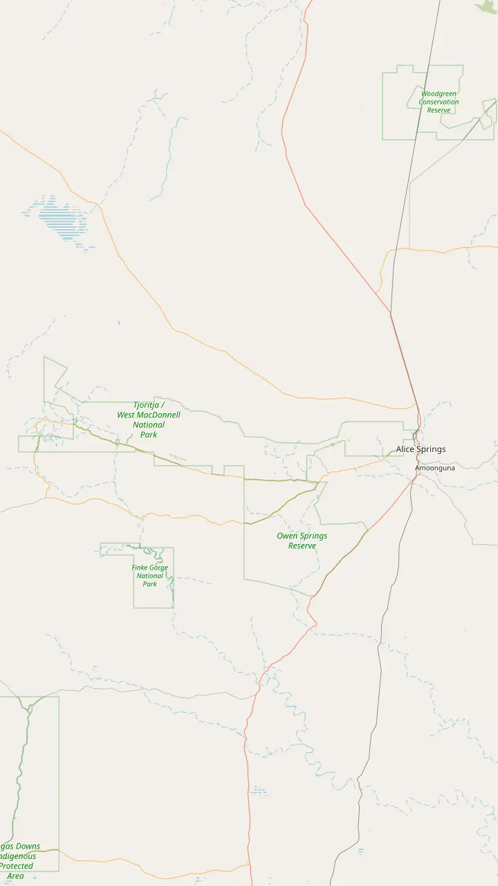
Alice Springs is where day trips start: the major stops range from 15 minutes to approximately 2 hours' drive away.
Google MapsJohn Flynn's Grave, 7 km west of town, holds the ashes of the founder of the Royal Flying Doctor Service.
Google MapsSimpsons Gap is 18 km from Alice Springs, with red cliffs and a permanent waterhole where swimming is not permitted.
Google MapsStandley Chasm is Aboriginal-owned land off Larapinta Drive, about 50 km west of Alice Springs, with its own entry fee.
Google MapsEllery Creek Big Hole is a flood-carved waterhole for swimming, believed to be up to 27 m deep.
Google MapsSerpentine Gorge is 100 km west of Alice Springs; swimming is prohibited there for cultural and environmental reasons.
Google MapsThe Ochre Pits are 110 km west of Alice Springs, a colourful outcrop of ochre on a sandy creek bank.
Google MapsOrmiston Gorge is 135 km west of Alice Springs on sealed roads, with a near-permanent waterhole for swimming.
Google MapsGlen Helen Gorge is 132 km from Alice Springs, where the ranges part for the Finke River.
Google MapsRedbank Gorge is 156 km west of Alice Springs; its last 5 km of road is unsealed and high clearance is recommended.
Google Maps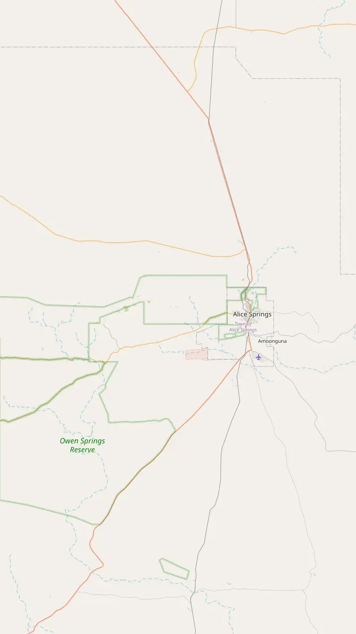
From town the Simpsons Gap Bicycle Path starts at John Flynn's Grave, 7 km west of Alice Springs.
Google MapsJohn Flynn's Grave Historical Reserve is 7 km west of Alice Springs.
Google MapsAt dawn and dusk Black-footed Rock-wallabies may be seen from the track into Simpsons Gap.
Google MapsThe Cassia Hill Walk is a 1.5 km loop of about one hour with views over the ranges.
Google MapsJay Creek ends Larapinta section 2, 24 km from Simpsons Gap, and section 3 runs 13 km on to Standley Chasm.
Google MapsStandley Chasm is 80 m tall and only 3 m wide at its narrowest.
Google Maps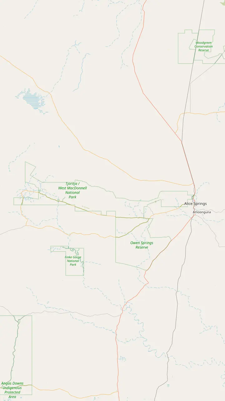
Simpsons Gap is Rungutjirpa to the Arrernte people, the home of giant goanna ancestors.
Google MapsAngkerle Atwatye means the Gap of Water.
Google MapsThe Aboriginal name for Ellery Big Hole is Udepata.
Google MapsSerpentine Gorge is the site of the Carpet Snake Dreaming.
Google MapsOchre from the pits is the primary material for traditional rock art in the region.
Google MapsOrmiston Gorge is a sacred site for the Western Arrernte people.
Google MapsGlen Helen Gorge is known to its traditional Arrernte owners as Yapalpe.
Google MapsMount Sonder is Rutjupma to the Western Arrernte, for whom it is sacred.
Google Maps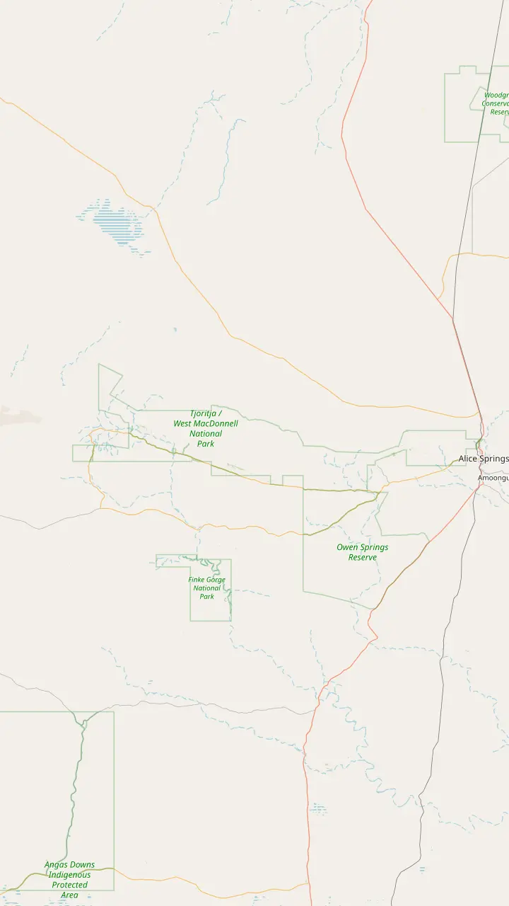
Ellery Creek has ten designated sites, booked online, at AUD 4 per adult.
Google MapsSerpentine Chalet bush camp is reached by four-wheel drive only.
Google MapsOrmiston Gorge campsites are first come, first served and paid at the kiosk.
Google MapsThe Finke 2 Mile campground sits on the Finke River near the Mt Sonder Lookout, around 130 km west of Alice Springs.
Google MapsWoodland is one of the two Redbank Gorge campgrounds; bring your own water, gas and firewood.
Google MapsRidgetop is the other Redbank Gorge campground, a base for the Mount Sonder climb.
Google MapsCamping at Standley Chasm includes entry to the chasm during your stay.
Google MapsThe rooms and campground at Discovery Parks - Glen Helen are currently closed, so check before planning a night there.
Google MapsMap © OpenStreetMap contributors
The Larapinta Trail follows the spine of the ranges from Alice Springs to Mount Sonder. This guide takes it section by section, then covers the season, fees, water, food drops and the shorter walks.
Editorial team, westmacdonnellrangestour.top · Updated November 8, 2026 · 7 mins to read
Essentials
The Larapinta Trail, West MacDonnell Ranges, runs from the historic Telegraph Station on the edge of Alice Springs to Mount Sonder in the west. Tourism NT describes it as a 231 km path along the rocky spine of the ranges and ranks it among the planet's top 20 treks.1 Tourism Central Australia gives the same trail as 223 km.2 Both are official figures, so plan your days and water around the higher one.
The start has its own story. The Telegraph Station went up in 1871 to pass messages along the line between Darwin and Adelaide.8 From there the trail heads west in 12 sections of varying difficulty and length.3 A four-wheel drive can reach every section, which lets walkers start or finish at any trailhead.4 That is what makes it a trail for both end-to-end trekkers and people with a single free day.
The ground underfoot is a large part of the appeal. Along the way it crosses metamorphic and igneous rock that ranks among the oldest on Earth, and close to 600 species of plants.9 It links with other walking tracks in the national park, which allows side trips to gorges and lookouts. Expect ridgelines, dry creek beds, rocky climbs and, at the end of many days, a waterhole with red walls around it.
Section by section
| Section | From and to | Length | Note |
|---|---|---|---|
| 1 | Alice Springs to Simpsons Gap | 23 km15 | Euro Ridge16 |
| 2 | Simpsons Gap to Jay Creek | 24 km17 | From the gap33 |
| 3 | Jay Creek to Standley Chasm | 13 km18 | High or low road19 |
| 4 | Standley Chasm to Birthday Waterhole | 17 km20 | Very scenic21 |
| 5 | Birthday Waterhole to Hugh Gorge | 18 km24 | Razorback Ridge25 |
| 6 | Hugh Gorge to Ellery Creek | 31 km27 | Longest28 |
| 7 | Ellery Creek to Serpentine Gorge | 14 km34 | Birdwatching35 |
| 8 | Serpentine Gorge to Serpentine Chalet | 19 km30 | 4WD access only36 |
| 9 | Serpentine Chalet to Ormiston Gorge | 29 km31 | Mt Giles views37 |
| 10 | Ormiston Gorge to Finke River | 13 km38 | Grade 339 |
| 11 | Finke River to Redbank Creek | 26 km32 | Grade 440 |
| 12 | Mount Sonder | 1380 m peak41 | No summit camping42 |
Lengths from Tourism Central Australia's section list; Tourism NT gives section 10 as 8.9 km to the Finke River trailhead.43
Section 1 covers the 23 km from Alice Springs to Simpsons Gap.15 The first day follows the spine of Euro Ridge, leaving the town behind.16 Section 2, from Simpsons Gap to Jay Creek, is 24 km.17 Section 3, Jay Creek to Standley Chasm, is 13 km and offers a high road along a rocky gorge top and a low road through a creek bed.18,19
Section 4, from Standley Chasm to Birthday Waterhole, is 17 km.20 Tourism Central Australia rates the stretch from Standley Chasm to Brinkley Bluff as very scenic.21 Both entry points for sections 3 and 4 sit inside the Standley Chasm gates, and the owners offer drop box storage at AUD 5 per box and overnight parking at AUD 5 per vehicle per night.22,23
Section 5, Birthday Waterhole to Hugh Gorge, is 18 km.24 It is one of the most visually spectacular sections, particularly along Razorback Ridge, and also one of the most difficult.25,26 Section 6, Hugh Gorge to Ellery Creek, is 31 km.27 It is relatively flat and the longest section of the trail, crossing Alice Valley.28 Ellery Creek Big Hole then gives access to sections 6 and 7.29
Section 7, Ellery Creek to Serpentine Gorge, is 14 km.34 It is one of the more mundane sections but recommended for bird watchers.35 Section 8, Serpentine Gorge to Serpentine Chalet, is 19 km.30 Serpentine Chalet is reached by four-wheel drive only, and its dam belongs to the remains of an early attempt at tourism in the ranges.36,53
Section 9, Serpentine Chalet to Ormiston Gorge, is 29 km, with great views from Mt Giles Lookout and Waterfall Gorge as a halfway campsite.31,37 Tourism Central Australia lists section 10, Ormiston Gorge to Finke River or Glen Helen, as 13 km.38 Tourism NT gives it as 8.9 km, a single day of medium grade walking to the Finke River trailhead.43 It is Grade 3, and section 11 is Grade 4.39,40
Section 11, Finke River to Redbank Creek, is 26 km.32 Between Hill Top Lookout and Rocky Bar Gap the views of Mount Sonder open out to a full 360 degrees.54 Redbank Gorge in the West MacDonnell Ranges is the base for the final section. It lies 156 km west of Alice Springs, and its pool is a walk of 2 km, roughly 1.5 hours return.55,56 There is no camping on the summit of Mt Sonder, only at Redbank Gorge.42
Pick your Larapinta
Start from the time and fitness you have.
If I have a single day
Walk Mount Sonder
If I want the hardest views
Section 5
Razorback Ridge is spectacular and one of the most difficult sections.25,26
If I want comfort
A guided trek
Guided six-day walks stay in camps with hot showers and camp cooks.46,48
If I am coming in summer
Short dawn walks only
From October to March trekking is highly discouraged.50
If I want the whole thing
Plan 12 to 15 days
Official estimates run from approximately 12 days to 10 to 15 days.44,51
Three ways to walk it
Self-guided
Self-sufficient
See this trip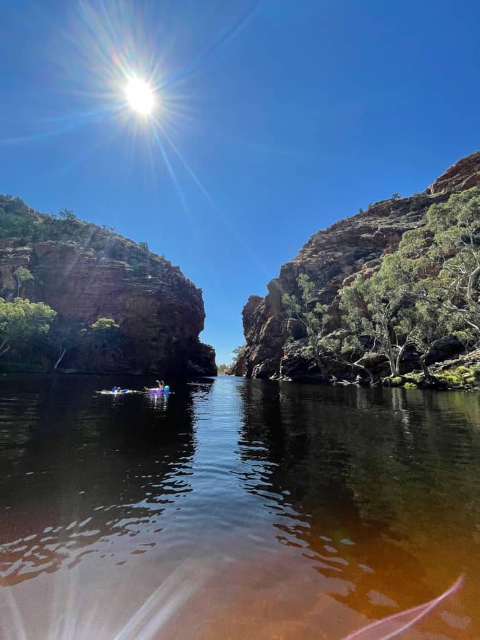
Guided
Camps and cooks
See this trip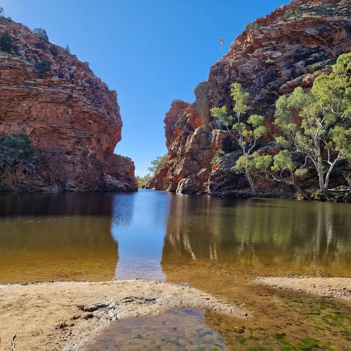
Listing
3 days by 4WD
Section 12 is Mount Sonder itself, starting and ending at Redbank Gorge.88 The summit is 1,380 m above sea level, with views across the ranges and plains.80 Its official grade is grade 4, moderate to difficult.112 The mountain is known as Rutjupma, the pregnant lady, to the Western Arrernte, for whom it is sacred.96 Walker fees are not payable for Mt Sonder as a day walk.49
Tourism Central Australia breaks the climb into stages. From the Redbank Gorge carpark to the saddle is 1 hour and 1.6 km, and from the saddle to the summit 2.5 hours and 5.5 km.12 The whole return comes to 6 hours and 14.2 km.14 For sunrise, get on the trail by 3:30 am to allow about 2.5 to 3 hours for the climb.11 Winter sunrise usually falls between 6:40 am and 7:20 am.13
Tourism NT calls the summit views at dawn worth a 2am wake-up call.113 A night climb needs a high-quality head torch.114 Winter climbers may meet gale-force winds, fog or cloud, so carry a warm windproof layer.115 Near the summit round-leafed mallee and native pine take over, and Wedge-tailed eagles and Peregrine falcons ride the updraughts around the top.116,117
Mount Sonder for sunrise
Night before
Camping is only at the two campsites at Redbank Gorge.10
Start
Be on the trail by 3:30 am for sunrise.11
First hour
1 hour and 1.6 km from the carpark.12
Summit
2.5 hours and 5.5 km from the saddle.12
Dawn
Winter sunrise comes between 6:40 am and 7:20 am.13
Return
The whole return is 6 hours and 14.2 km.14
Timing is the first decision. Rangers service the campsites and water only from April to September.5 Central Australia has extreme heat from October through to March, a serious risk to hikers with high bushfire danger.52 In that period trail sites and water are not maintained, commercial operations are suspended and trekking is highly discouraged.50 Walk in the cool months, or keep to short day walks at dawn.
Overnight walkers pay. The walking fee is AUD 25 per day, capped at AUD 125 per person for multi-day treks, while day hikes are free.6 Anyone staying out overnight books trail use and campsites online in advance.105 Standley Chasm, Ormiston Gorge and Glen Helen Gorge are 3 private sites booked directly with the provider.118 Mobile reception is patchy, so make every booking before you leave town.119
Food and water need planning. Food storage rooms are at Ellery Creek South, Serpentine Gorge and Ormiston Gorge, and Standley Chasm offers food drops on request.120 Keys cost AUD 60 on collection, with AUD 50 refunded on return.106 Boxes must be collected within seven days of the labelled pick-up date.121 There are 16 water tanks along the trail, and the water should be boiled, treated or filtered.45,108
Video
Laura Waddell on YouTube · The clip loads only after you tap play.
Central Australia experiences extreme heat conditions from October through to March, which can pose a serious risk to hikers and result in high bushfire danger.
Trek planning
How long the full trail takes depends on who you ask. Tourism NT says approximately 12 days.44 Tourism Central Australia gives 14 days minimum on one page and usually 10 to 15 days on another.122,51 Going alone, you need to be self-sufficient, carrying your own food and camping gear.123 Walk in a group of 3 or more, and write in the logbook at each trailhead so rangers can trace your movements.109,124
Guided treks carry the load for you. World Expeditions offers fully guided six-day walks, and Australian Walking Company offers six days with guides and a private eco-camp in the park.46,125 Tourism NT describes guided walks staying in three luxury safari camps with hot showers and camp cooks.48 Trek Larapinta was set up in 1998, eight years after the trail first opened.126 Fully guided and catered tours run between April and September.47
For most visitors, West MacDonnell Ranges hiking means day walks, and Tourism NT notes that most of the trail's highlights are reached on day walks from picnic and camping areas.7 Walk a stretch from Standley Chasm, the Ormiston Pound loop or Mount Sonder from Redbank. The site's day trip has short walks at Simpsons Gap, Standley Chasm, Ormiston Gorge and Ellery Creek, chosen to suit all ages and fitness levels. Carry a satellite phone or beacon on any longer walk.110
The trail is remote, and the official advice is practical. When days are hot, walk in the early morning or late afternoon and pack a warm layer for nights that can be freezing.111 Summer bushwalkers should also carry a fly net, wear long socks and pack a snake bandage in a small first-aid kit.127 On forecasts above 36 degrees celsius, some tracks are closed outright.128
Water and weather can turn quickly. In a flood, head to high ground and never try to cross the water.129 Usually dry creek beds are where flash floods run, so do not camp in them when storms are about. Carry at least the water you need to reach the next tank, and never count on one tank alone to see you through.
Tell someone your plan before every section. Tourism NT advises a satellite phone or personal locator beacon and letting friends or rangers know where you are going.110 Fill in the trailhead logbooks without fail.124 For walkers in a group, Tourism Central Australia's rule of 3 or more lets one person stay with an injured walker while another fetches help.109
FAQ
The fee is capped at AUD 125 per person, and day hikes are free.6
The return walk from Redbank Gorge is 14.2 km and takes about 6 hours.14
Camping is only at the two designated campsites at Redbank Gorge.10
Guided tours are available; otherwise go well equipped and notify the authorities.130
Sources
Planning a day in the West Macs? A real person answers here.